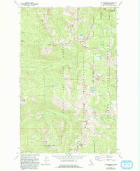
1967 Map of The Wigwams
USGS Topo · Published 1993About this map
The Wigwams and the high ridges of the Selkirk Crest Management Area dominate this section of Boundary County. Compiled from late 1960s aerial photography, the map reveals a landscape defined by sharp drainage divides and high-elevation basins. Glacial cirques hold isolated water bodies such as Two Mouth Lakes, Harrison Lake, and the Beehive Lakes, which feed the complex network of creeks including the Pack River and Myrtle Creek.
Find a feature on this map
38 named features on this map. Tap any name to fly to it.
Don’t see what you’re looking for? This feature index may not catch every label — zoom into the map to look around manually.
Map Details
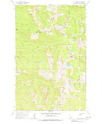
Editions of this 1967 The Wigwams Map
Other maps of this area

1911 · Priest Lake
USGS Topo · 1:250,000

1913 · Priest Lake
USGS Topo · 1:250,000

1958 · Sandpoint
USGS Topo · 1:250,000

1963 · Sandpoint
USGS Topo · 1:250,000

1967 · Priest Lake SE
USGS Topo · 1:24,000

1967 · Priest Lake NE
USGS Topo · 1:24,000

1967 · The Wigwams
USGS Topo · 1:24,000
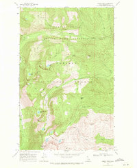
1967 · Roman Nose
USGS Topo · 1:24,000

1967 · Mount Roothaan
USGS Topo · 1:24,000
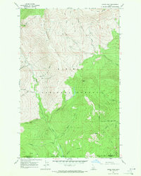
1967 · Dodge Peak
USGS Topo · 1:24,000