
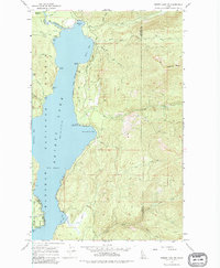
1967 Map of Priest Lake NE
USGS Topo · Published 1971About this map
The Kaniksu National Forest surrounds the northeastern shores of Priest Lake in this 1967 survey, where a network of trails and forestry infrastructure defines the landscape. The lake's irregular coastline is marked by numerous protected inlets including Distillery Bay, Huckleberry Bay, and Mosquito Bay, the latter of which sits near the mouth of The Thorofare River. Settlement activity is focused on specific recreational and administrative sites, such as Camp Dodge and the Two Mouth Guard Station, reflecting the area's role as a managed timber and wilderness resource.
Find a feature on this map
42 named features on this map. Tap any name to fly to it.
Don’t see what you’re looking for? This feature index may not catch every label — zoom into the map to look around manually.
Map Details
Editions of this 1967 Priest Lake NE Map
2 editions found
Other maps of this area

1911 · Priest Lake
USGS Topo · 1:250,000

1913 · Priest Lake
USGS Topo · 1:250,000

1958 · Sandpoint
USGS Topo · 1:250,000

1963 · Sandpoint
USGS Topo · 1:250,000

1967 · Priest Lake SE
USGS Topo · 1:24,000

1967 · Priest Lake NW
USGS Topo · 1:24,000

1967 · The Wigwams
USGS Topo · 1:24,000

1967 · Mount Roothaan
USGS Topo · 1:24,000
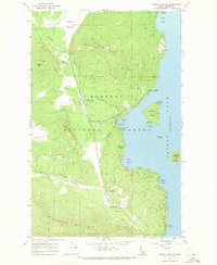
1967 · Priest Lake SW
USGS Topo · 1:24,000
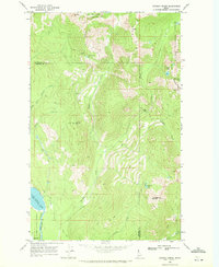
1969 · Caribou Creek
USGS Topo · 1:24,000