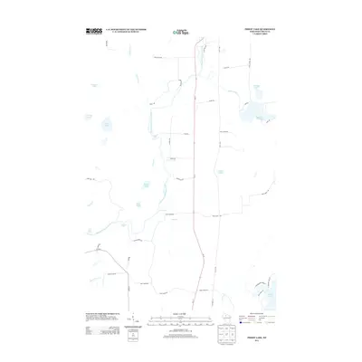
2013 Map of Priest Lake
USGS Topo · Published 2013About this map
The South Fork Flambeau River carves a winding path through this northern Wisconsin landscape, punctuated by numerous whitewater features including Simons Rapids, Priest Lake Rapids, and Boars Rapids. This 2013 survey depicts a region defined by its complex hydrology, where smaller water bodies like Priest Lake and Axels Lake are interspersed among glacial drainages.
Find a feature on this map
52 named features on this map. Tap any name to fly to it.
Don’t see what you’re looking for? This feature index may not catch every label — zoom into the map to look around manually.
Map Details
Editions of this 2013 Priest Lake Map
This is the sole edition of this map. No revisions or reprints were ever made.
Other maps of this area

1941 · Park Falls
USGS Topo · 1:48,000

1941 · Kennan
USGS Topo · 1:48,000

1941 · Kennedy
USGS Topo · 1:48,000

1941 · Phillips
USGS Topo · 1:48,000

1943 · Park Falls
USGS Topo · 1:48,000

1943 · Philliips
USGS Topo · 1:48,000

1945 · Kennedy
USGS Topo · 1:48,000

1945 · Kennan
USGS Topo · 1:48,000

1947 · Park Falls
USGS Topo · 1:48,000

1953 · Rice Lake
USGS Topo · 1:250,000