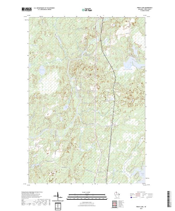
2023 Map of Priest Lake
USGS Topo · Published 2023About this map
The South Fork Flambeau River carves a winding path through this Northwoods landscape, characterized by numerous river hazards including Simons Rapids, Boars Rapids, and Rock Ledge Rapids. This modern topographic study shows a territory defined by its complex hydrology, where Sailor Creek feeds the expansive Sailor Creek Flowage and smaller water bodies like Priest Lake and Axels Lake dot the glacial terrain.
Find a feature on this map
64 named features on this map. Tap any name to fly to it.
Don’t see what you’re looking for? This feature index may not catch every label — zoom into the map to look around manually.
Map Details
Editions of this 2023 Priest Lake Map
This is the sole edition of this map. No revisions or reprints were ever made.
Other maps of this area

1941 · Park Falls
USGS Topo · 1:48,000

1941 · Kennan
USGS Topo · 1:48,000

1941 · Kennedy
USGS Topo · 1:48,000

1941 · Phillips
USGS Topo · 1:48,000

1943 · Park Falls
USGS Topo · 1:48,000

1943 · Philliips
USGS Topo · 1:48,000

1945 · Kennedy
USGS Topo · 1:48,000

1945 · Kennan
USGS Topo · 1:48,000

1947 · Park Falls
USGS Topo · 1:48,000

1953 · Rice Lake
USGS Topo · 1:250,000