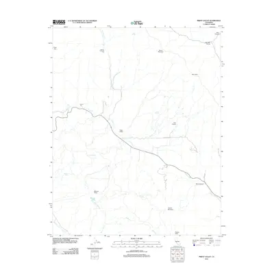
2012 Map of Priest Valley
USGS Topo · Published 2012About this map
Priest Valley and the surrounding drainage of Lewis Cr define this Central Coast upland landscape. The terrain is marked by a network of seasonal springs and steep canyons, including Blue Canyon and Mulch Canyon, which feed into larger watercourses like Warthan Cr and San Lorenzo Cr. The settlement pattern follows the valley floors, with ranching and local history evidenced by the Williams-Duckworth Cem near the N Fork Lewis Cr and the Clayton Cem further west.
Find a feature on this map
27 named features on this map. Tap any name to fly to it.
Don’t see what you’re looking for? This feature index may not catch every label — zoom into the map to look around manually.
Map Details
Editions of this 2012 Priest Valley Map
This is the sole edition of this map. No revisions or reprints were ever made.
Other maps of this area

1915 · Priest Valley
USGS Topo · 1:125,000

1941 · Priest Valley
USGS Topo · 1:62,500

1941 · San Ardo
USGS Topo · 1:62,500

1943 · New Idria
USGS Topo · 1:62,500

1943 · San Ardo
USGS Topo · 1:62,500

1943 · Hernandez Valley
USGS Topo · 1:62,500

1944 · Hernandez Valley
USGS Topo · 1:62,500

1944 · Priest Valley
USGS Topo · 1:62,500

1948 · Santa Cruz
USGS Topo · 1:250,000

1955 · Santa Cruz
USGS Topo · 1:250,000