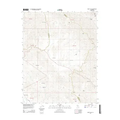
2015 Map of Priest Valley
USGS Topo · Published 2015About this map
The San Andreas Fault cuts a definitive path through this section of the Diablo Range, shaping a complex landscape where the boundaries of Monterey, San Benito, and Fresno counties meet. The settlement of Priest Valley sits at a crossroads near Lewis Cr, surrounded by a series of high ridges and deep drainages including Mustang Ridge and Blue Canyon. For genealogists, the map identifies small burial sites like the Williams-Duckworth Cem and Clayton Cem, marking the presence of early ranching families in this remote interior. The terrain is characterized by a network of seasonal water sources such as Indian Spring, Log Cabin Spring, and Monroe Lake, which supported livestock across Peachtree Valley and Monroe Valley. The orientation of these valleys and the course of San Lorenzo Cr follow the dominant northwest-southeast structural grain of the California Coast Ranges.
Find a feature on this map
46 named features on this map. Tap any name to fly to it.
Don’t see what you’re looking for? This feature index may not catch every label — zoom into the map to look around manually.
Map Details
Editions of this 2015 Priest Valley Map
This is the sole edition of this map. No revisions or reprints were ever made.
Other maps of this area

1915 · Priest Valley
USGS Topo · 1:125,000

1941 · Priest Valley
USGS Topo · 1:62,500

1941 · San Ardo
USGS Topo · 1:62,500

1943 · New Idria
USGS Topo · 1:62,500

1943 · San Ardo
USGS Topo · 1:62,500

1943 · Hernandez Valley
USGS Topo · 1:62,500

1944 · Hernandez Valley
USGS Topo · 1:62,500

1944 · Priest Valley
USGS Topo · 1:62,500

1948 · Santa Cruz
USGS Topo · 1:250,000

1955 · Santa Cruz
USGS Topo · 1:250,000