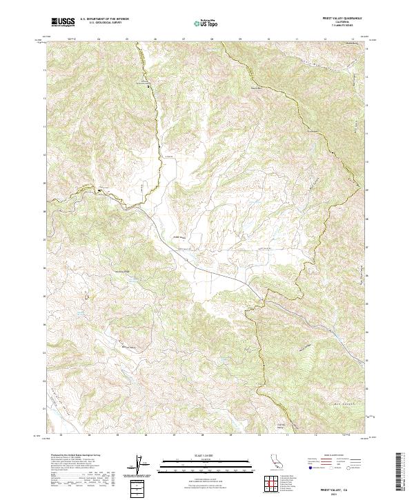
2021 Map of Priest Valley
USGS Topo · Published 2021About this map
Priest Valley occupies a strategic high-country basin where the borders of Monterey, San Benito, and Fresno counties converge within the Diablo Range. This modern survey reveals a landscape of deep canyons and prominent ridges, defined by the drainage systems of Lewis Cr and San Lorenzo Cr. The area maintains its rural character, with movement centered along Priest Valley Rd and Peachtree Rd.
Find a feature on this map
42 named features on this map. Tap any name to fly to it.
Don’t see what you’re looking for? This feature index may not catch every label — zoom into the map to look around manually.
Map Details
Editions of this 2021 Priest Valley Map
This is the sole edition of this map. No revisions or reprints were ever made.
Other maps of this area

1915 · Priest Valley
USGS Topo · 1:125,000

1941 · Priest Valley
USGS Topo · 1:62,500

1941 · San Ardo
USGS Topo · 1:62,500

1943 · New Idria
USGS Topo · 1:62,500

1943 · San Ardo
USGS Topo · 1:62,500

1943 · Hernandez Valley
USGS Topo · 1:62,500

1944 · Hernandez Valley
USGS Topo · 1:62,500

1944 · Priest Valley
USGS Topo · 1:62,500

1948 · Santa Cruz
USGS Topo · 1:250,000

1955 · Santa Cruz
USGS Topo · 1:250,000