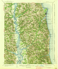
1938 Map of Prince Frederick
USGS Topo · Published 1938About this map
Prince Frederick serves as the central hub for Calvert County in the mid-1930s, situated on the high ground between the Patuxent River and the Chesapeake Bay. The map documents a landscape of coastal development and rural tobacco-country infrastructure, featuring several established landings and wharves along the Patuxent such as Lyons Creek Wharf and Leitch Wharf. To the east, the shoreline is defined by burgeoning resort communities like Chesapeake Beach and North Beach, alongside the more recently established Scientists Cliffs. Local education and faith are represented through numerous district landmarks including Cedar Hill School and All Saints Church. A significant military and recreational presence is noted at Camp Roosevelt near the bay. The map also records the transition from river-based transport to regional roads, marking various landings like Magruder Landing and Milltown Landing that once served as vital links for the county's agricultural trade.
Find a feature on this map
88 named features on this map. Tap any name to fly to it.
Don’t see what you’re looking for? This feature index may not catch every label — zoom into the map to look around manually.
Map Details
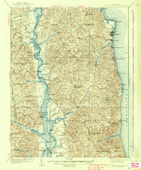
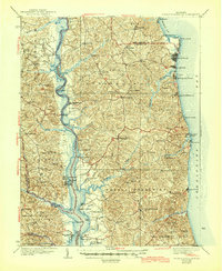
Editions of this 1938 Prince Frederick Map
3 editions found
Other maps of this area

1892 · Leonardtown
USGS Topo · 1:62,500

1892 · Drum Point
USGS Topo · 1:62,500

1892 · Prince Frederick
USGS Topo · 1:62,500

1892 · Brandywine
USGS Topo · 1:62,500

1892 · Owensville
USGS Topo · 1:62,500

1892 · Annapolis
USGS Topo · 1:62,500

1893 · Sharps Island
USGS Topo · 1:62,500

1894 · Wicomico
USGS Topo · 1:62,500

1895 · Prince Frederick
USGS Topo · 1:62,500

1895 · Wicomico
USGS Topo · 1:62,500