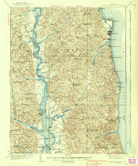
1938 Map of Prince Frederick
USGS Topo · Published 1938About this map
The Patuxent River corridor and the western shores of the Chesapeake Bay define the landscape of Calvert County in the mid-1930s. Centered on the county seat of Prince Frederick, the survey details a rural economy tied to the water, evidenced by numerous landings and wharves such as Leitch Wharf, Deep Landing, and Lyons Creek Wharf. Along the northern bay front, the development of leisure destinations is clear, with the neighboring communities of North Beach, West Beach, and Chesapeake Beach shown in detail.
Find a feature on this map
109 named features on this map. Tap any name to fly to it.
Don’t see what you’re looking for? This feature index may not catch every label — zoom into the map to look around manually.
Map Details
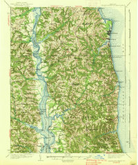
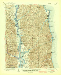
Editions of this 1938 Prince Frederick Map
3 editions found
Other maps of this area

1892 · Leonardtown
USGS Topo · 1:62,500

1892 · Drum Point
USGS Topo · 1:62,500

1892 · Prince Frederick
USGS Topo · 1:62,500

1892 · Brandywine
USGS Topo · 1:62,500

1892 · Owensville
USGS Topo · 1:62,500

1892 · Annapolis
USGS Topo · 1:62,500

1893 · Sharps Island
USGS Topo · 1:62,500

1894 · Wicomico
USGS Topo · 1:62,500

1895 · Prince Frederick
USGS Topo · 1:62,500

1895 · Wicomico
USGS Topo · 1:62,500