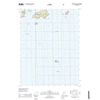
2018 Map of Prince Rupert D-4 SW
USGS Topo · Published 2018About this map
Cape Northumberland anchors the western edge of this coastal survey, marking a rugged point of land within the southernmost reaches of the Tongass National Forest. The landscape is dominated by the complex archipelagos and maritime passages of the Pacific Ocean, where small landmasses like Kelp Island and the Sister Islands provide refuge and navigational landmarks. The presence of the Kelp Island Anchorage suggests the historical and continued importance of these sheltered waters for vessels navigating the remote Alaskan coastline. To the east, East Island stands separated by open water, while the isolated Yellow Rocks rise from the sea to the south, highlighting the maritime hazards and natural beauty of the Ketchikan Gateway region.
Find a feature on this map
11 named features on this map. Tap any name to fly to it.
Don’t see what you’re looking for? This feature index may not catch every label — zoom into the map to look around manually.
Map Details
Editions of this 2018 Prince Rupert D-4 SW Map
This is the sole edition of this map. No revisions or reprints were ever made.
Other maps of this area

1951 · Prince Rupert
USGS Topo · 1:250,000
1955 · Prince Rupert D-5
USGS Topo · 1:63,360
1955 · Prince Rupert D-4
USGS Topo · 1:63,360

1959 · Prince Rupert
USGS Topo · 1:250,000

1964 · Prince Rupert
USGS Topo · 1:250,000
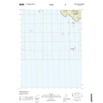
2018 · Prince Rupert D-5 SE
USGS Topo · 1:25,000
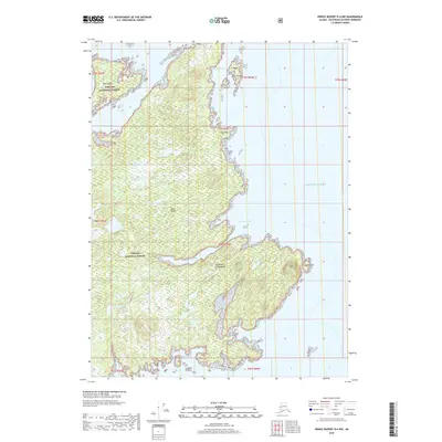
2018 · Prince Rupert D-4 NW
USGS Topo · 1:25,000
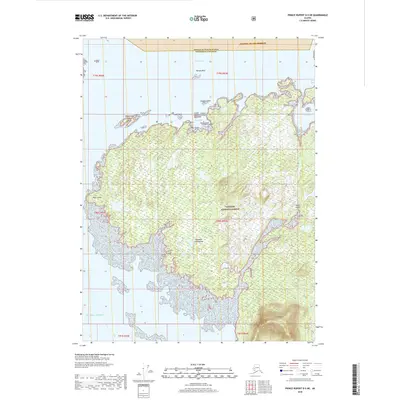
2018 · Prince Rupert D-5 NE
USGS Topo · 1:25,000
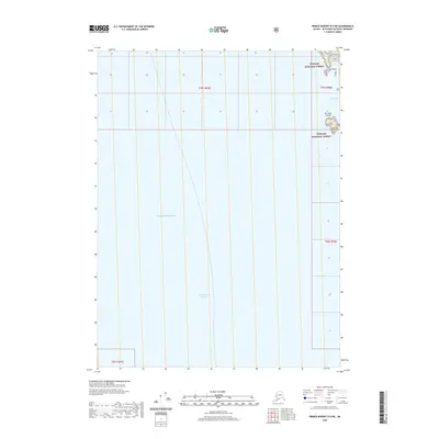
2020 · Prince Rupert D-4 NE
USGS Topo · 1:25,000
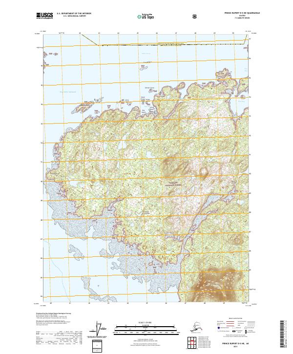
2021 · Prince Rupert D-5 NE
USGS Topo · 1:25,000