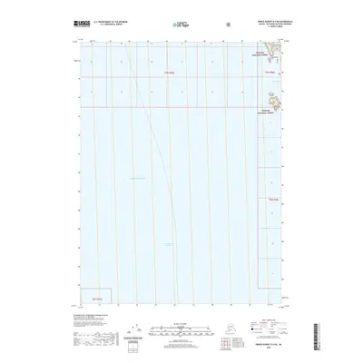
2020 Map of Prince Rupert D-4 NE
USGS Topo · Published 2020About this map
The Revillagigedo Channel dominates this coastal maritime survey, serving as a primary navigational artery for the Alexander Archipelago. Along the northeastern edge of the sheet, the rocky shoreline of the Tongass National Forest emerges, marked by the distinct protrusion of Kirk Point. Further south, the De Long Islands sit near the entrance to Foggy Bay, providing a complex topographical profile of the Alaskan coast. This area represents a crucial intersection of the Pacific Ocean and the intricate inland waterways used for transport and resource management in the Ketchikan Gateway Borough. The map detail focuses almost entirely on these tidal waters and the immediate littoral zone, where the steep terrain meet the channel's edge.
Find a feature on this map
10 named features on this map. Tap any name to fly to it.
Don’t see what you’re looking for? This feature index may not catch every label — zoom into the map to look around manually.
Map Details
Editions of this 2020 Prince Rupert D-4 NE Map
This is the sole edition of this map. No revisions or reprints were ever made.
Other maps of this area

1951 · Prince Rupert
USGS Topo · 1:250,000

1952 · Ketchikan
USGS Topo · 1:250,000

1955 · Prince Rupert D-3
USGS Topo · 1:63,360

1955 · Ketchikan A-4
USGS Topo · 1:63,360
1955 · Prince Rupert D-4
USGS Topo · 1:63,360

1955 · Ketchikan A-3
USGS Topo · 1:63,360

1955 · Ketchikan
USGS Topo · 1:250,000

1959 · Prince Rupert
USGS Topo · 1:250,000

1964 · Prince Rupert
USGS Topo · 1:250,000
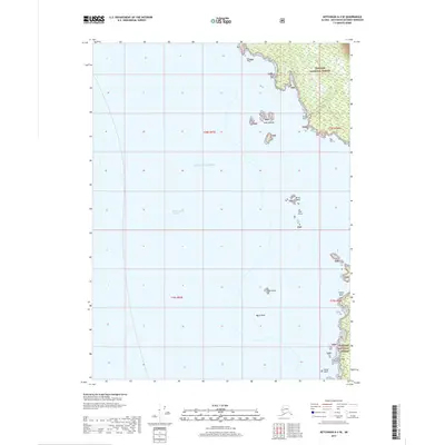
2017 · Ketchikan A-4 SE
USGS Topo · 1:25,000