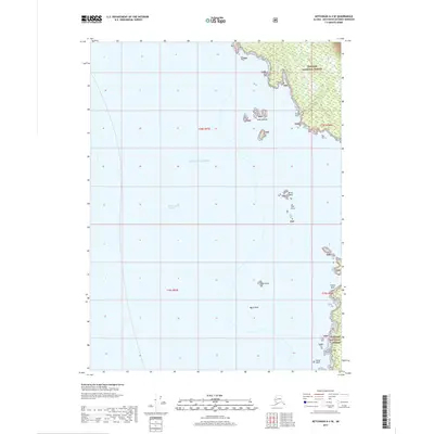
2017 Map of Ketchikan A-4 SE
USGS Topo · Published 2017About this map
Tongass National Forest dominates the rugged eastern coastline of this maritime quadrant, where the mainland meets the vast Gulf of Alaska. The map documents a complex coastline defined by deep-water passages and treacherous navigational hazards. The Revillagigedo Channel serves as a primary marine corridor, framed by prominent landmarks such as Tent Point and the southernmost reaches of the Alexander Archipelago at Cape Fox. Isolated formations like the Slate Islands and White Reef dot the offshore waters, signifying the region's character as a frontier of both industry and conservation. This 2017 data captures the shoreline in high detail, noting specific hazards for mariners and researchers alike, from the solitary Snail Rock to the distant House Rock at the map's southern edge.
Find a feature on this map
16 named features on this map. Tap any name to fly to it.
Don’t see what you’re looking for? This feature index may not catch every label — zoom into the map to look around manually.
Map Details
Editions of this 2017 Ketchikan A-4 SE Map
This is the sole edition of this map. No revisions or reprints were ever made.
Other maps of this area

1951 · Prince Rupert
USGS Topo · 1:250,000

1952 · Ketchikan
USGS Topo · 1:250,000

1955 · Prince Rupert D-3
USGS Topo · 1:63,360

1955 · Ketchikan A-4
USGS Topo · 1:63,360
1955 · Prince Rupert D-4
USGS Topo · 1:63,360

1955 · Ketchikan A-3
USGS Topo · 1:63,360

1955 · Ketchikan
USGS Topo · 1:250,000

1959 · Prince Rupert
USGS Topo · 1:250,000

1964 · Prince Rupert
USGS Topo · 1:250,000
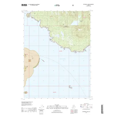
2017 · Ketchikan A-4 NW
USGS Topo · 1:25,000