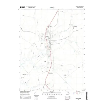
2014 Map of Princess Anne
USGS Topo · Published 2014About this map
Princess Anne serves as the focal point of this Somerset County landscape, where the Univ of Maryland Eastern Shore campus anchors the northern edge of town. The area is defined by its low-lying coastal plain and the intricate network of tidal waterways branching from the Manokin River, including Kings Creek and Jones Cr. Settlement patterns follow the higher ground between these marshes, with the Ocean Hwy corridor connecting the smaller communities of Landon Station and Westover to the south. Local history is preserved in sites like Antioch Cem and the small hamlet of Palmetto, which features its own Palmetto Cem. The map also details the region's light aviation infrastructure via the Flying W Airport and Le Champ Airport, while naming distinct topographical necks such as Stewart Neck and Revels Neck that separate the various creek branches.
Find a feature on this map
96 named features on this map. Tap any name to fly to it.
Don’t see what you’re looking for? This feature index may not catch every label — zoom into the map to look around manually.
Map Details
Editions of this 2014 Princess Anne Map
This is the sole edition of this map. No revisions or reprints were ever made.
Other maps of this area

1901 · Salisbury
USGS Topo · 1:62,500

1903 · Nanticoke
USGS Topo · 1:62,500

1903 · Deal Island
USGS Topo · 1:62,500

1942 · Marion
USGS Topo · 1:24,000

1942 · Monie
USGS Topo · 1:24,000

1942 · Wetipquin
USGS Topo · 1:24,000

1942 · Kingston
USGS Topo · 1:24,000

1942 · Princess Anne
USGS Topo · 1:24,000

1942 · Eden
USGS Topo · 1:24,000

1942 · Dividing Creek
USGS Topo · 1:24,000