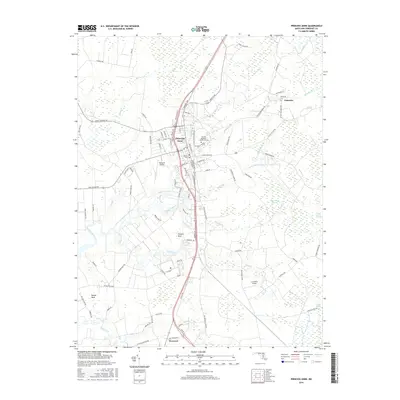
2016 Map of Princess Anne
USGS Topo · Published 2016About this map
Princess Anne serves as the focal point of this Somerset County landscape, where the University of Maryland Eastern Shore campus expands eastward from the town center. The geography is defined by a dense network of slow-moving coastal waterways, including the winding Manokin River and the many branches feeding into Kings Creek. These watercourses carve out distinct landforms like Stewart Neck and Revels Neck, while the low-lying eastern terrain is dominated by significant wetlands such as Peggy Boston Swamp and McCormick Swamp. Modern transportation corridors and local aviation sites like Flying W Airport and Le Champ Airport intersect with older landmarks of the community. Genealogists will find the locations of Antioch Cem and Palmetto Cem preserved here, alongside established settlements like Westover and Palmetto.
Find a feature on this map
98 named features on this map. Tap any name to fly to it.
Don’t see what you’re looking for? This feature index may not catch every label — zoom into the map to look around manually.
Map Details
Editions of this 2016 Princess Anne Map
This is the sole edition of this map. No revisions or reprints were ever made.
Other maps of this area

1901 · Salisbury
USGS Topo · 1:62,500

1903 · Nanticoke
USGS Topo · 1:62,500

1903 · Deal Island
USGS Topo · 1:62,500

1942 · Marion
USGS Topo · 1:24,000

1942 · Monie
USGS Topo · 1:24,000

1942 · Wetipquin
USGS Topo · 1:24,000

1942 · Kingston
USGS Topo · 1:24,000

1942 · Princess Anne
USGS Topo · 1:24,000

1942 · Eden
USGS Topo · 1:24,000

1942 · Dividing Creek
USGS Topo · 1:24,000