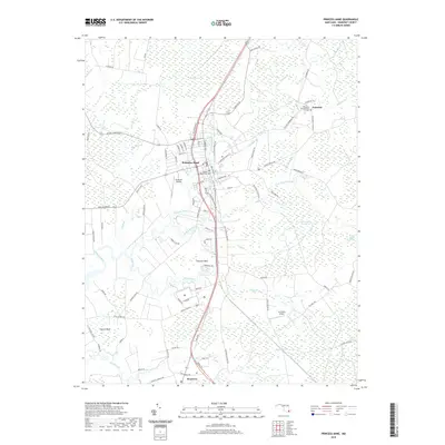
2019 Map of Princess Anne
USGS Topo · Published 2019About this map
Princess Anne serves as the focal point of this Somerset County landscape, where the street grid of the historic town meets the meandering Manokin River. The town is flanked by outlying settlements and family-named locales including Stewart Neck and Revels Neck, reflecting a long-standing pattern of Lower Eastern Shore land division. Significant marshlands and water bodies such as Tulls Swamp and the Monokin Br define the eastern and northern reaches of the quadrangle, illustrating the intricate drainage system of the peninsula. Local history is anchored at sites like the Antioch Methodist Cem and the Palmetto Presbyterian Cem near the small community of Palmetto. Transportation corridors are well-defined, from the central path of Us HWY 13 to small aviation hubs like Flying W Airport and Le Champ Airport, showing how modern infrastructure integrates with the region's traditional rural character.
Find a feature on this map
109 named features on this map. Tap any name to fly to it.
Don’t see what you’re looking for? This feature index may not catch every label — zoom into the map to look around manually.
Map Details
Editions of this 2019 Princess Anne Map
This is the sole edition of this map. No revisions or reprints were ever made.
Other maps of this area

1901 · Salisbury
USGS Topo · 1:62,500

1903 · Nanticoke
USGS Topo · 1:62,500

1903 · Deal Island
USGS Topo · 1:62,500

1942 · Marion
USGS Topo · 1:24,000

1942 · Monie
USGS Topo · 1:24,000

1942 · Wetipquin
USGS Topo · 1:24,000

1942 · Kingston
USGS Topo · 1:24,000

1942 · Princess Anne
USGS Topo · 1:24,000

1942 · Eden
USGS Topo · 1:24,000

1942 · Dividing Creek
USGS Topo · 1:24,000