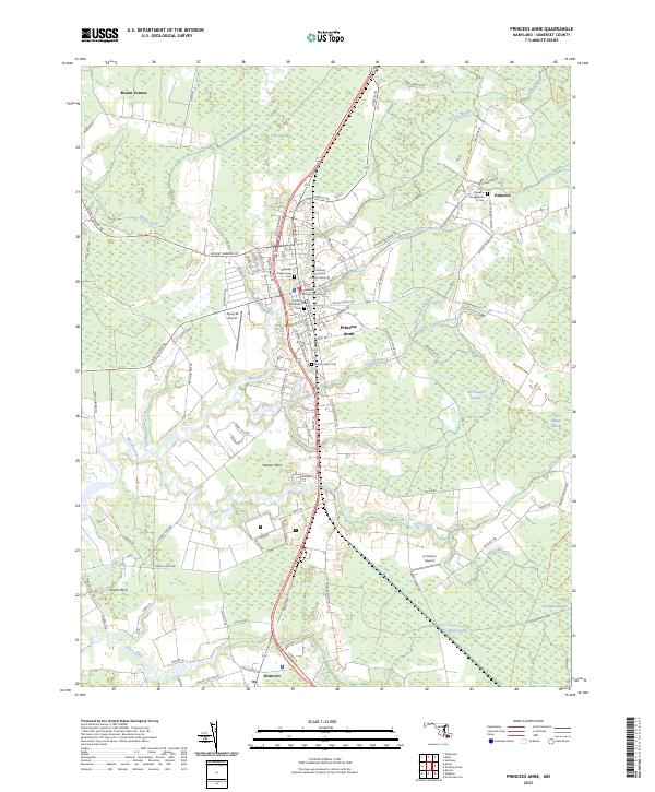
2023 Map of Princess Anne
USGS Topo · Published 2023About this map
The Somerset County Courthouse stands at the heart of the seat of Somerset County, where the Manokin River winds through a landscape defined by tidewater history and low-lying wetlands. This modern survey illustrates the enduring layout of Princess Anne, a community shaped by its proximity to water and its role as a regional institutional center. The expansive campus of the University of Maryland Eastern Shore dominates the northern edge of the town, while family history is preserved in local burial grounds such as Manokin Presbyterian Cem and Antioch Methodist Cem. Surrounding the settlement, the geography transitions into significant marshlands like Tills Swamp and McCormick Swamp, interspersed with residential pockets at Stewart Neck and Revels Neck. Smaller settlements such as Palmetto and Westover anchor the rural outskirts, connected by a network of historic roads and drainage branches.
Find a feature on this map
105 named features on this map. Tap any name to fly to it.
Don’t see what you’re looking for? This feature index may not catch every label — zoom into the map to look around manually.
Map Details
Editions of this 2023 Princess Anne Map
This is the sole edition of this map. No revisions or reprints were ever made.
Other maps of this area

1901 · Salisbury
USGS Topo · 1:62,500

1903 · Nanticoke
USGS Topo · 1:62,500

1903 · Deal Island
USGS Topo · 1:62,500

1942 · Marion
USGS Topo · 1:24,000

1942 · Monie
USGS Topo · 1:24,000

1942 · Wetipquin
USGS Topo · 1:24,000

1942 · Kingston
USGS Topo · 1:24,000

1942 · Princess Anne
USGS Topo · 1:24,000

1942 · Eden
USGS Topo · 1:24,000

1942 · Dividing Creek
USGS Topo · 1:24,000