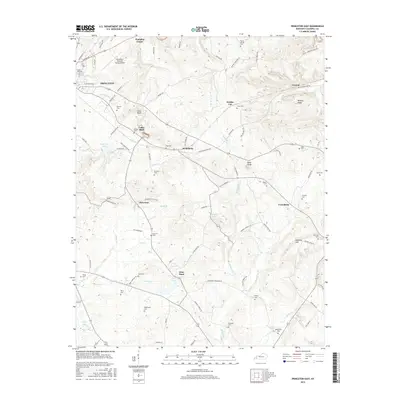
2016 Map of Princeton East
USGS Topo · Published 2016About this map
Princeton serves as the focal point of this western Kentucky landscape, where the town's grid meets the branching valleys of Big Spring Br and Eddy Creek. The geography reveals a legacy of transportation and rural commerce, most notably along the Old Railroad Bed Rd which snakes through the terrain past Walche Cut and into the small community of Claxton. This corridor, once vital for moving coal and timber, now anchors a network of family-named landmarks and small settlements like Scottsburg and McGowan.
Find a feature on this map
100 named features on this map. Tap any name to fly to it.
Don’t see what you’re looking for? This feature index may not catch every label — zoom into the map to look around manually.
Map Details
Editions of this 2016 Princeton East Map
This is the sole edition of this map. No revisions or reprints were ever made.
Other maps of this area

1908 · Princeton
USGS Topo · 1:62,500

1909 · Dawson Springs
USGS Topo · 1:48,000

1910 · Princeton
USGS Topo · 1:62,500

1911 · Dawson Springs
USGS Topo · 1:62,500

1953 · Gracey
USGS Topo · 1:24,000

1953 · Cobb
USGS Topo · 1:24,000

1953 · Dawson Springs SW
USGS Topo · 1:24,000
1953 · Lamasco
USGS Topo · 1:24,000

1954 · Evansville
USGS Topo · 1:250,000
1954 · Princeton West
USGS Topo · 1:24,000