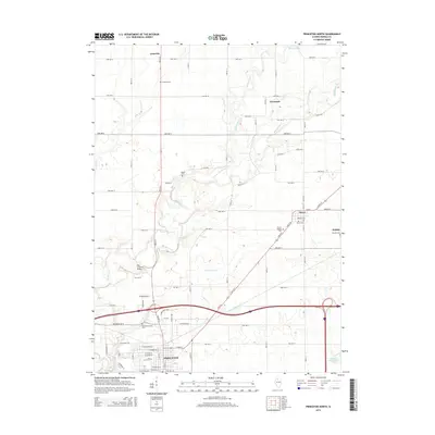
2015 Map of Princeton North
USGS Topo · Published 2015About this map
Big Bureau Cr and its tributaries carve through the agricultural heart of Bureau County, Illinois, providing a detailed look at the rural landscape north of Princeton. The topography is defined by the winding paths of Epperson Run, Masters Fork, and Lime Cr, which create breaks in the otherwise orderly grid of country roads. Of particular interest to local historians is the Red Covered Bridge over Big Bureau Cr, a landmark that anchors the western portion of the sheet near Woodlawn-Stoner Cem.
Find a feature on this map
53 named features on this map. Tap any name to fly to it.
Don’t see what you’re looking for? This feature index may not catch every label — zoom into the map to look around manually.
Map Details
Editions of this 2015 Princeton North Map
This is the sole edition of this map. No revisions or reprints were ever made.
Other maps of this area

1893 · Hennepin
USGS Topo · 1:62,500

1909 · Hennepin
USGS Topo · 1:62,500

1911 · Hennepin
USGS Topo · 1:62,500

1921 · Buda
USGS Topo · 1:62,500

1923 · Buda
USGS Topo · 1:62,500

1949 · Walnut
USGS Topo · 1:62,500

1951 · Amboy
USGS Topo · 1:62,500

1958 · Aurora
USGS Topo · 1:250,000

1961 · Aurora
USGS Topo · 1:250,000
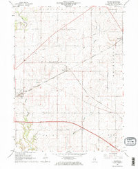
1966 · Malden
USGS Topo · 1:24,000