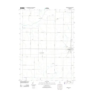
2012 Map of Princeville
USGS Topo · Published 2012About this map
Princeville serves as the central hub of this agricultural landscape in northern Peoria County, where the grid of rural roads meets the local watercourses of Prince Run and Jubilee Cr. The map preserves the locations of numerous historic burial grounds, including Saint Marys Cem and Princeville Township Cem, which offer significant value for genealogical research in the region. Smaller settlements like Monica and Duncan are connected by a network of county highways and roads such as W Streitmatter Rd. The geography is defined by its drainage basins, with the Spoon River cutting through the northwestern corner and the Slackwater Bridge crossing over Indian Cr. Notable landmarks like Phils Airstrip and Underwood Pond provide specific points of interest within the vast township sections, reflecting the modern utility of this fertile Illinois prairie land.
Find a feature on this map
62 named features on this map. Tap any name to fly to it.
Don’t see what you’re looking for? This feature index may not catch every label — zoom into the map to look around manually.
Map Details
Editions of this 2012 Princeville Map
This is the sole edition of this map. No revisions or reprints were ever made.
Other maps of this area

1893 · Dunlap
USGS Topo · 1:62,500

1898 · Dunlap
USGS Topo · 1:62,500

1932 · Dunlap
USGS Topo · 1:62,500

1933 · Dunlap
USGS Topo · 1:62,500

1933 · Camp Grove
USGS Topo · 1:48,000

1937 · Dunlap
USGS Topo · 1:62,500

1944 · Kewanee
USGS Topo · 1:62,500

1944 · Elmwood
USGS Topo · 1:62,500

1945 · Bradford
USGS Topo · 1:62,500

1948 · Elmwood
USGS Topo · 1:62,500