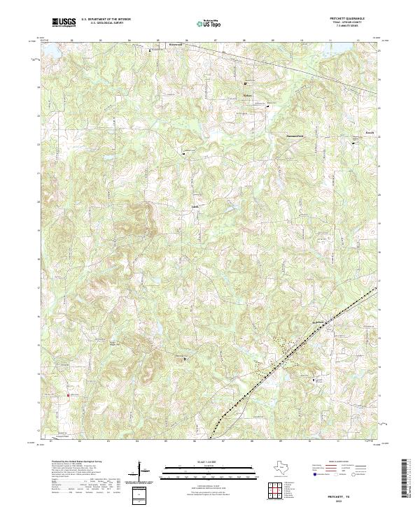
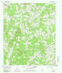
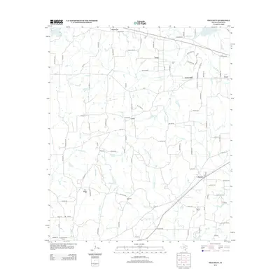
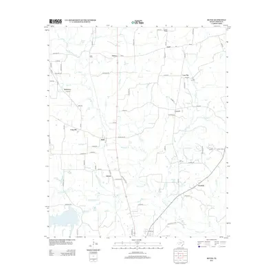
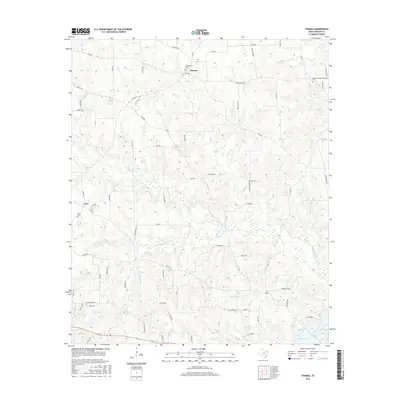
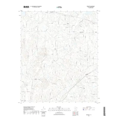
2022 Map of Pritchett
USGS Topo · Published 2022About this map
The Pritchett area of Upshur County is defined by a dense network of winding rural roads and small creek drainages, illustrating the persistent settlement patterns of East Texas. Several community centers like Rosewood, Kelsey, and Latch are distributed across the landscape, each anchored by local landmarks such as Rosewood Cem and Kelsey Cem. These small nodes are connected by a web of local routes including Arrowood RD and Cedar RD, crossing numerous waterways like Kelsey Cr and Little White Oak Cr.
Find a feature on this map
91 named features on this map. Tap any name to fly to it.
Don’t see what you’re looking for? This feature index may not catch every label — zoom into the map to look around manually.
Map Details
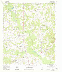
Editions of this 2022 Pritchett Map
This is the sole edition of this map. No revisions or reprints were ever made.
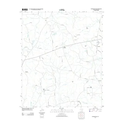
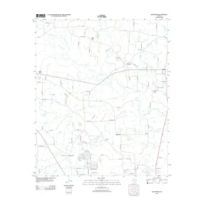
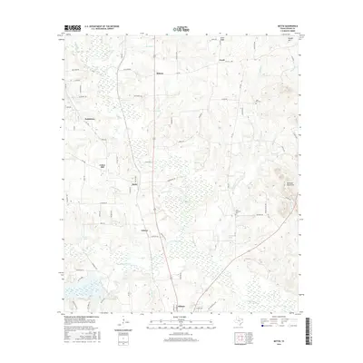
Historical Maps of Pritchett Through Time
30 maps found
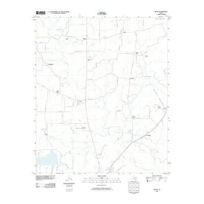
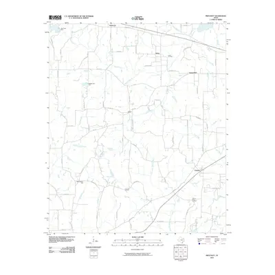
1960 Bettie
Upshur County, TX
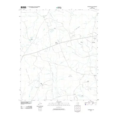
1960 Coffeeville
Upshur County, TX
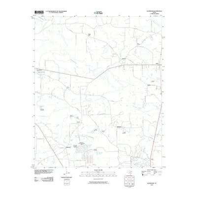
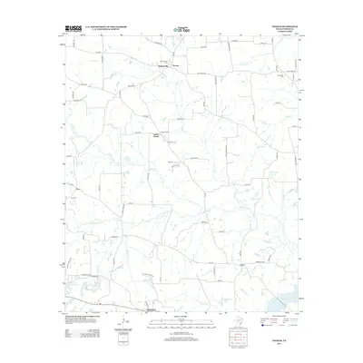
1960 Glenwood
Upshur County, TX
1960 Pritchett
Upshur County, TX

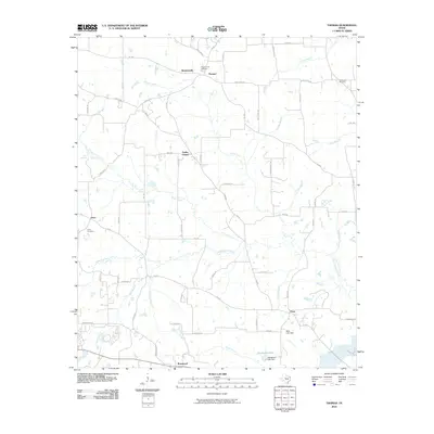
1960 Thomas
Upshur County, TX
2010 Bettie
Upshur County, TX
2010 Coffeeville
Upshur County, TX
2010 Glenwood
Upshur County, TX
2010 Pritchett
Upshur County, TX
2010 Thomas
Upshur County, TX
2012 Pritchett
Upshur County, TX
2012 Thomas
Upshur County, TX
2013 Bettie
Upshur County, TX
2013 Coffeeville
Upshur County, TX
2013 Glenwood
Upshur County, TX
2016 Bettie
Upshur County, TX
2016 Coffeeville
Upshur County, TX
2016 Glenwood
Upshur County, TX

2016 Pritchett
Upshur County, TX
2016 Thomas
Upshur County, TX
2019 Bettie
Upshur County, TX
2019 Coffeeville
Upshur County, TX
2019 Glenwood
Upshur County, TX
2019 Pritchett
Upshur County, TX
2019 Thomas
Upshur County, TX
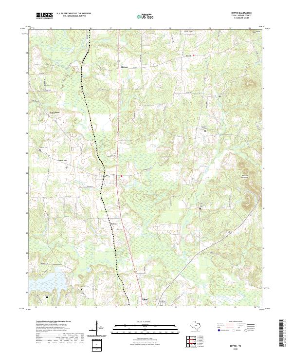
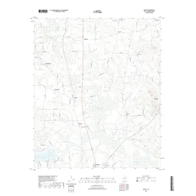
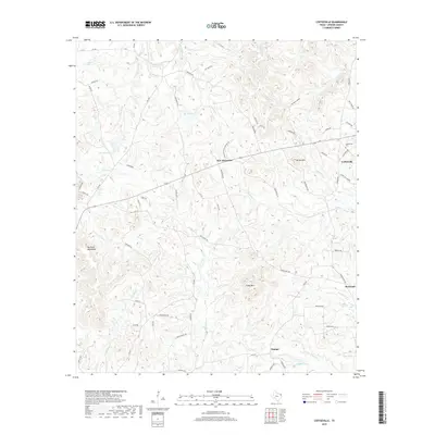
2022 Bettie
Upshur County, TX
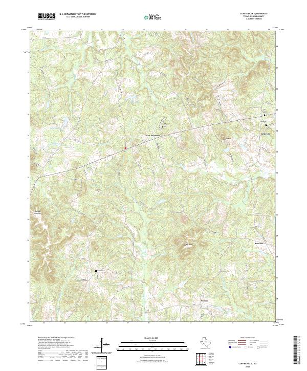
2022 Coffeeville
Upshur County, TX
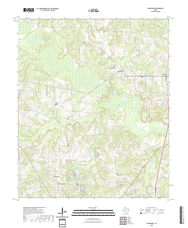
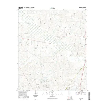
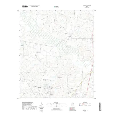
2022 Glenwood
Upshur County, TX
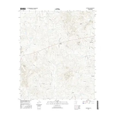
2022 Pritchett
Upshur County, TX
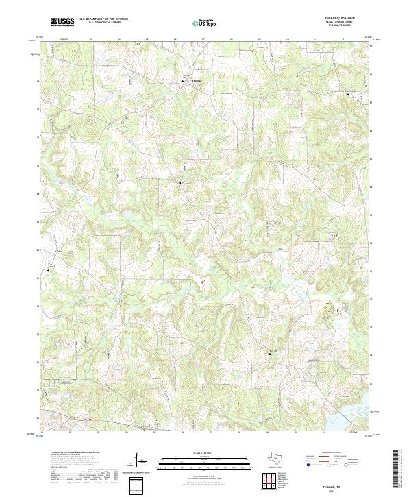
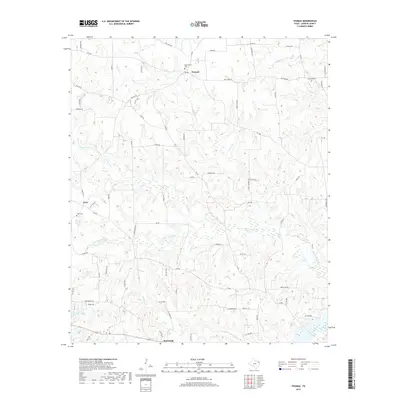
2022 Thomas
Upshur County, TX