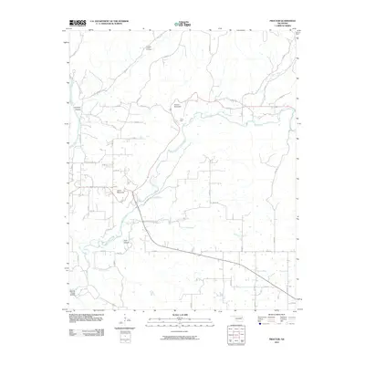
2010 Map of Proctor
USGS Topo · Published 2010About this map
Proctor Mountain and Eldon Mountain anchor this portion of the Oklahoma Ozarks, where the valley of the Baron Fork winds westward toward its confluence with the Illinois River. The map reveals a landscape defined by deep hollers and creek branches, including the curiously named Pumpkin Hollow and Mining Camp Hollow, which reflect the region's historical land use and early resource extraction.
Find a feature on this map
46 named features on this map. Tap any name to fly to it.
Don’t see what you’re looking for? This feature index may not catch every label — zoom into the map to look around manually.
Map Details
Editions of this 2010 Proctor Map
This is the sole edition of this map. No revisions or reprints were ever made.
Other maps of this area

1898 · Tahlequah
USGS Topo · 1:125,000

1899 · Siloam Springs
USGS Topo · 1:125,000

1901 · Tahlequah
USGS Topo · 1:125,000

1903 · Siloam Springs
USGS Topo · 1:125,000

1904 · Siloam Springs
USGS Topo · 1:125,000

1905 · Tahlequah
USGS Topo · 1:125,000

1946 · Fort Smith
USGS Topo · 1:250,000

1954 · Tulsa
USGS Topo · 1:250,000

1958 · Tulsa
USGS Topo · 1:250,000

1963 · Tulsa
USGS Topo · 1:250,000