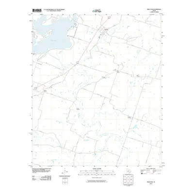
2010 Map of Proctor
USGS Topo · Published 2010About this map
Proctor Lake dominates the northwest corner of this Central Texas landscape, held by the Proctor Dam along the Leon River. The surrounding terrain is a network of small creeks and drainages, including Walnut Creek, Mustang Creek, and Indian Creek, which feed into the primary river valley. The small settlements of Proctor and Hasse serve as local anchors, connected by a web of rural farm-to-market roads and county routes such as FM 1476. For genealogists and local historians, the sheet is particularly valuable for its documentation of rural burial sites scattered across the countryside, including Luker Cemetery, Graham Chapel Cemetery, Reid Cemetery, Miller Cemetery, and Baggett Cemetery. These landmarks, along with features like Long Hollow, provide a clear picture of the established family and community footprints in Comanche County at the start of the 21st century.
Find a feature on this map
43 named features on this map. Tap any name to fly to it.
Don’t see what you’re looking for? This feature index may not catch every label — zoom into the map to look around manually.
Map Details
Editions of this 2010 Proctor Map
This is the sole edition of this map. No revisions or reprints were ever made.
Other maps of this area

1888 · Hamilton
USGS Topo · 1:125,000

1889 · Brownwood
USGS Topo · 1:125,000

1890 · Stephenville
USGS Topo · 1:125,000

1894 · Hamilton
USGS Topo · 1:125,000

1894 · Eastland
USGS Topo · 1:125,000

1894 · Brownwood
USGS Topo · 1:125,000

1920 · Stephenville
USGS Topo · 1:125,000

1954 · Brownwood
USGS Topo · 1:250,000

1954 · Abilene
USGS Topo · 1:250,000

1956 · Gustine
USGS Topo · 1:62,500