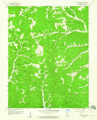
1959 Map of Proctor Creek
USGS Topo · Published 1960About this map
Proctor Creek and its many tributaries carve a network of steep hollows into the Morgan County landscape, just as it appeared in the late 1950s. The southern reach of the map touches the northern fingers of the Lake of the Ozarks, where the terrain begins to flatten near the reservoir's edge. This area is characterized by family-named landscape features and traditional community centers, including Richey Ch in the northeast and Locust Ch tucked along North Brushy Creek.
Find a feature on this map
39 named features on this map. Tap any name to fly to it.
Don’t see what you’re looking for? This feature index may not catch every label — zoom into the map to look around manually.
Map Details
Editions of this 1959 Proctor Creek Map
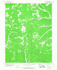
2 editions found
Other maps of this area

1887 · Warsaw
USGS Topo · 1:125,000

1888 · Versailles
USGS Topo · 1:125,000

1893 · Versailles
USGS Topo · 1:125,000

1894 · Warsaw
USGS Topo · 1:125,000

1904 · Gravois Mills
USGS Topo · 1:62,500

1934 · Purvis
USGS Topo · 1:24,000

1934 · Irontown Ferry
USGS Topo · 1:24,000

1935 · Gravois Mills
USGS Topo · 1:24,000

1935 · Proctor Creek
USGS Topo · 1:24,000

1935 · Boylers Mill
USGS Topo · 1:24,000