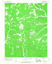
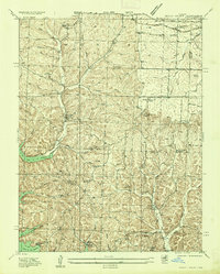
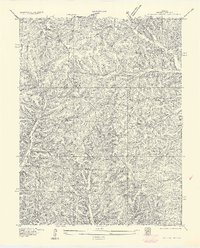
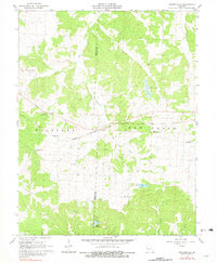
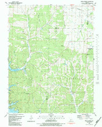
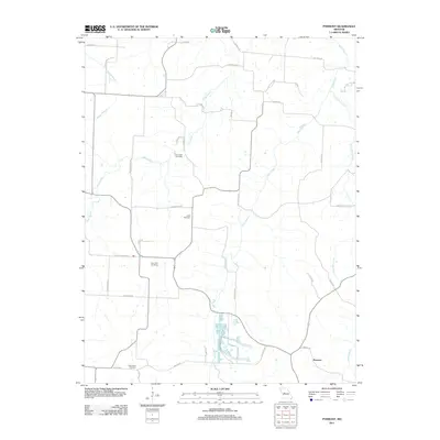
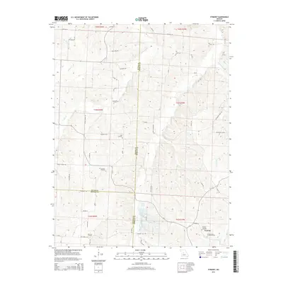
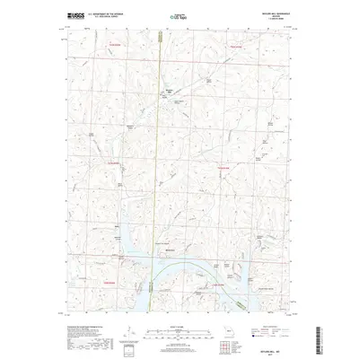
1959 Map of Proctor Creek
USGS Topo · Published 1967About this map
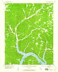
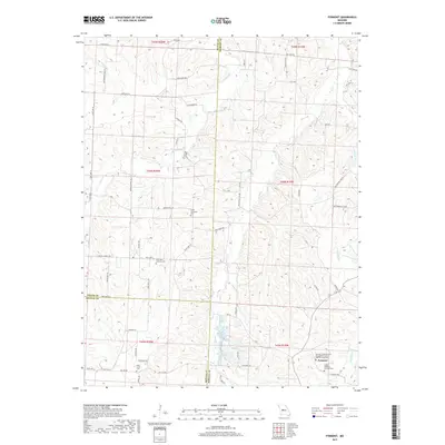
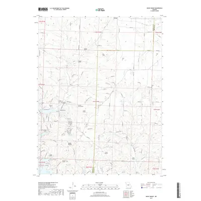
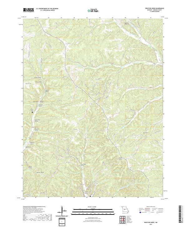
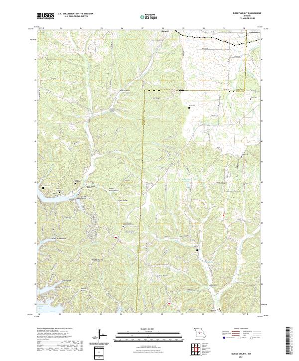
Proctor Lookout Tower stands as a central landmark overlooking the intricate drainage network of Morgan County, where the topography is defined by dozens of named valleys and ridges. In the late 1950s, the southern edge of this landscape meets the northern reaches of the Lake of the Ozarks, a major transformation of the Proctor Creek basin. The area is marked by a deep-rooted rural character, indicated by numerous family-named hollows such as Spangler Hollow, Markham Hollow, and Decker Hollow. Local life centered around small congregations at Richey Ch and Locust Ch. The presence of several Quarries and a sawmill at Sawmill Hollow points to an economy tied to the land's timber and stone resources, while the winding course of Gravois Creek and the prominent Backbone ridge dictate the region's natural corridors.
Find a feature on this map
33 named features on this map. Tap any name to fly to it.
Don’t see what you’re looking for? This feature index may not catch every label — zoom into the map to look around manually.
Map Details
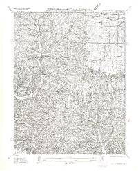
Editions of this 1959 Proctor Creek Map
2 editions found
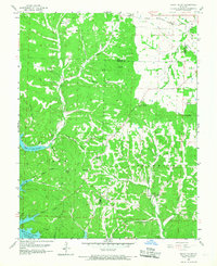
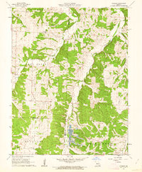
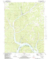
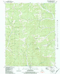
Historical Maps of Proctor Through Time
44 maps found
1935 Boylers Mill
Morgan County, MO
1935 Proctor Creek
Morgan County, MO
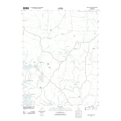
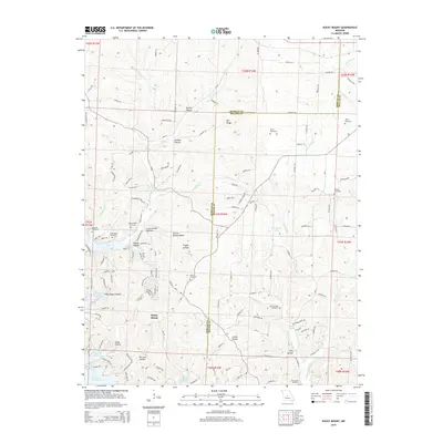
1935 Rocky Mount
Morgan County, MO
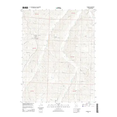
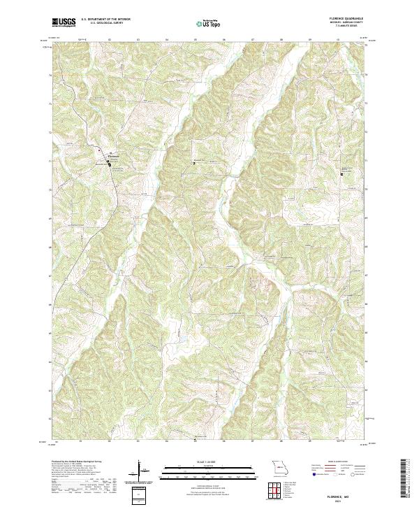
1953 Florence
Morgan County, MO
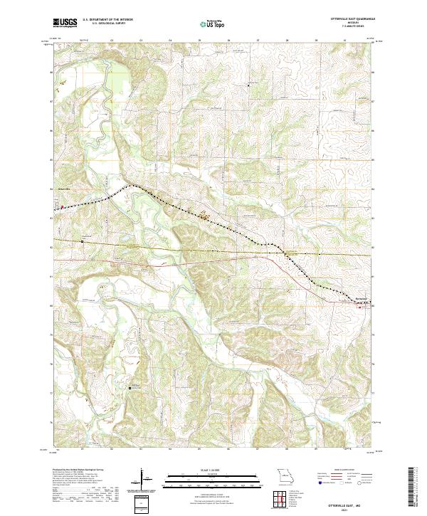
1953 Otterville East
Morgan County, MO
1957 Boylers Mill
Morgan County, MO
1957 Proctor Creek
Morgan County, MO
1957 Rocky Mount
Morgan County, MO
1959 Boylers Mill
Morgan County, MO
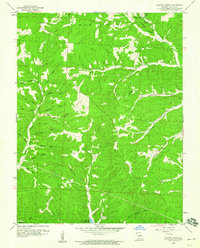
1959 Proctor Creek
Morgan County, MO
1959 Rocky Mount
Morgan County, MO
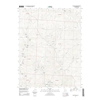
1961 Crockerville
Morgan County, MO
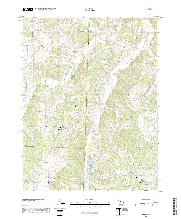
1961 Pyrmont
Morgan County, MO
1983 Boylers Mill
Morgan County, MO
1983 Proctor Creek
Morgan County, MO
1983 Rocky Mount
Morgan County, MO
2011 Boylers Mill
Morgan County, MO
2011 Crockerville
Morgan County, MO
2011 Florence
Morgan County, MO

2011 Otterville East
Morgan County, MO

2011 Proctor Creek
Morgan County, MO
2011 Pyrmont
Morgan County, MO
2011 Rocky Mount
Morgan County, MO
2014 Boylers Mill
Morgan County, MO
2014 Crockerville
Morgan County, MO
2014 Pyrmont
Morgan County, MO
2015 Florence
Morgan County, MO

2015 Otterville East
Morgan County, MO
2015 Proctor Creek
Morgan County, MO
2015 Rocky Mount
Morgan County, MO
2017 Boylers Mill
Morgan County, MO
2017 Crockerville
Morgan County, MO
2017 Florence
Morgan County, MO

2017 Otterville East
Morgan County, MO
2017 Proctor Creek
Morgan County, MO
2017 Pyrmont
Morgan County, MO
2017 Rocky Mount
Morgan County, MO
2021 Boylers Mill
Morgan County, MO
2021 Crockerville
Morgan County, MO
2021 Florence
Morgan County, MO
2021 Otterville East
Morgan County, MO
2021 Proctor Creek
Morgan County, MO
2021 Pyrmont
Morgan County, MO
2021 Rocky Mount
Morgan County, MO