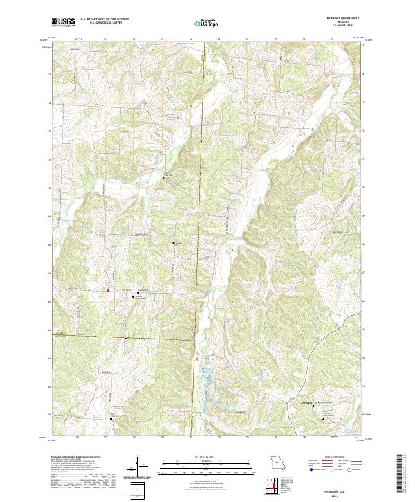
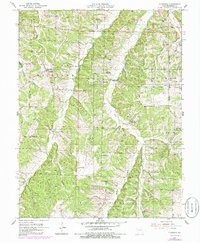
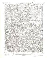
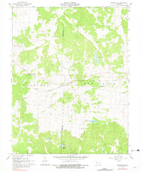
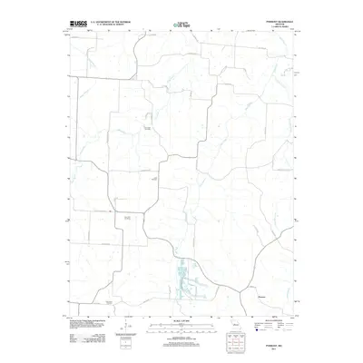
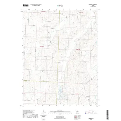
2021 Map of Pyrmont
USGS Topo · Published 2021About this map
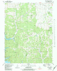
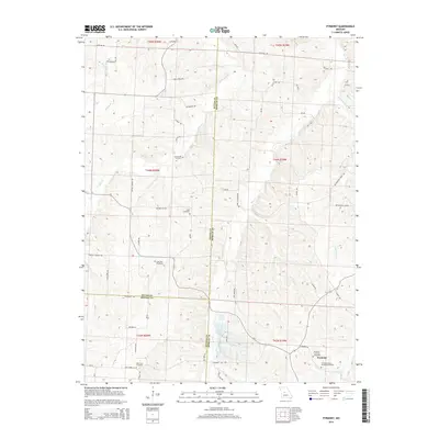
The small settlement of Pyrmont serves as the focal point for this rural landscape where Pettis, Morgan, and Benton Counties meet. This territory is defined by a deep-rooted Lutheran heritage, evidenced by the high density of denominational landmarks such as the Pyrmont Lutheran Cem - Evangelical Lutheran Church in America, the Trinity Lutheran Cem Pyrmont, and Saint Paul Lutheran Cem. The terrain is deeply dissected by the waterways of Haw Creek and Little Haw Creek, creating a complex network of ridges followed by local routes like Butterfield Trl Rd and Haw Creek Rd. Family history and local genealogy are preserved in the numerous smaller burial grounds scattered across the countryside, including the Lamb Immanuel Cem, Deppeler Cem, and Lake Creek Cem, which reflect the early farmstead patterns of this Missouri interior.
Find a feature on this map
59 named features on this map. Tap any name to fly to it.
Don’t see what you’re looking for? This feature index may not catch every label — zoom into the map to look around manually.
Map Details
Editions of this 2021 Pyrmont Map
This is the sole edition of this map. No revisions or reprints were ever made.
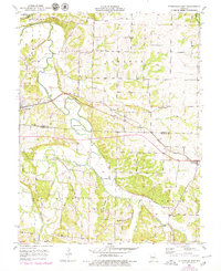
Historical Maps of Pyrmont Through Time
44 maps found
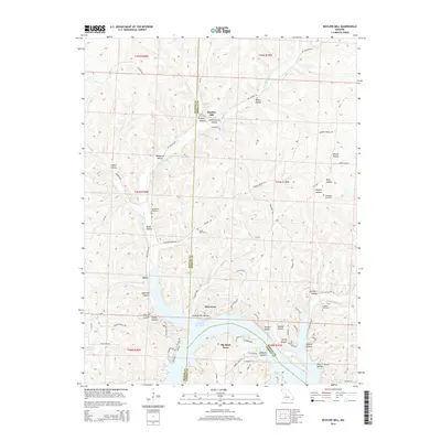
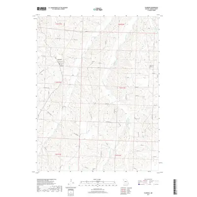
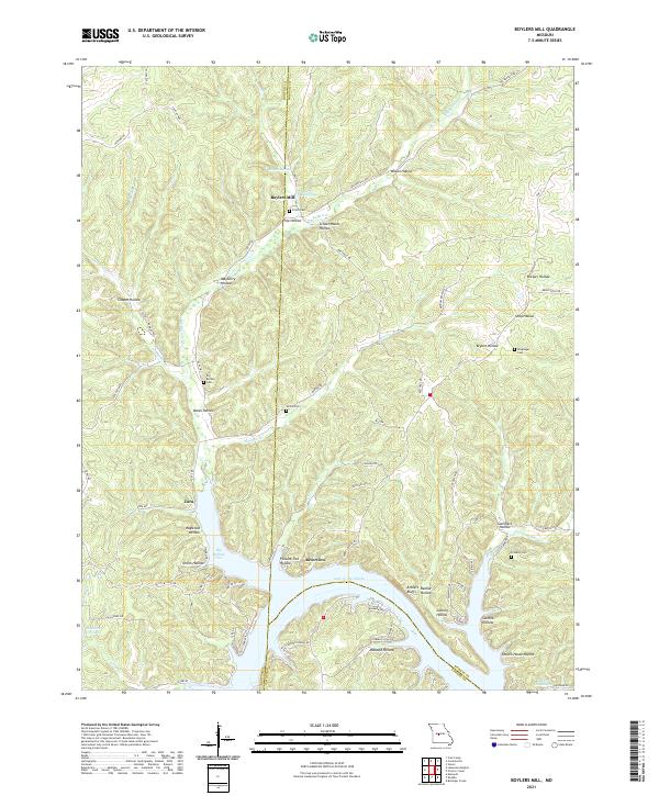
1935 Boylers Mill
Morgan County, MO
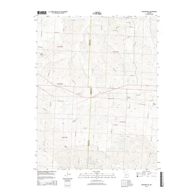
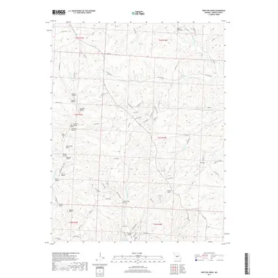
1935 Proctor Creek
Morgan County, MO
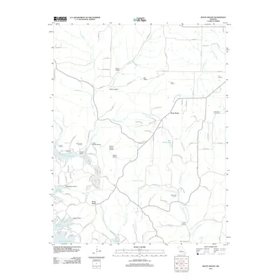
1935 Rocky Mount
Morgan County, MO
1953 Florence
Morgan County, MO
1953 Otterville East
Morgan County, MO
1957 Boylers Mill
Morgan County, MO
1957 Proctor Creek
Morgan County, MO
1957 Rocky Mount
Morgan County, MO
1959 Boylers Mill
Morgan County, MO
1959 Proctor Creek
Morgan County, MO
1959 Rocky Mount
Morgan County, MO
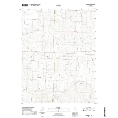
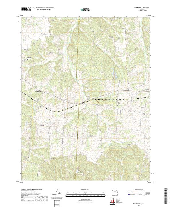
1961 Crockerville
Morgan County, MO
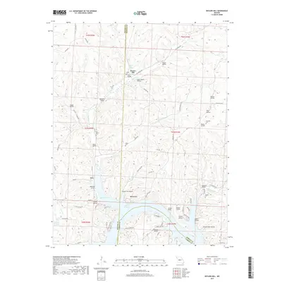
1961 Pyrmont
Morgan County, MO
1983 Boylers Mill
Morgan County, MO
1983 Proctor Creek
Morgan County, MO
1983 Rocky Mount
Morgan County, MO
2011 Boylers Mill
Morgan County, MO
2011 Crockerville
Morgan County, MO
2011 Florence
Morgan County, MO

2011 Otterville East
Morgan County, MO

2011 Proctor Creek
Morgan County, MO
2011 Pyrmont
Morgan County, MO
2011 Rocky Mount
Morgan County, MO
2014 Boylers Mill
Morgan County, MO
2014 Crockerville
Morgan County, MO
2014 Pyrmont
Morgan County, MO
2015 Florence
Morgan County, MO

2015 Otterville East
Morgan County, MO
2015 Proctor Creek
Morgan County, MO
2015 Rocky Mount
Morgan County, MO
2017 Boylers Mill
Morgan County, MO
2017 Crockerville
Morgan County, MO
2017 Florence
Morgan County, MO

2017 Otterville East
Morgan County, MO
2017 Proctor Creek
Morgan County, MO
2017 Pyrmont
Morgan County, MO
2017 Rocky Mount
Morgan County, MO
2021 Boylers Mill
Morgan County, MO
2021 Crockerville
Morgan County, MO
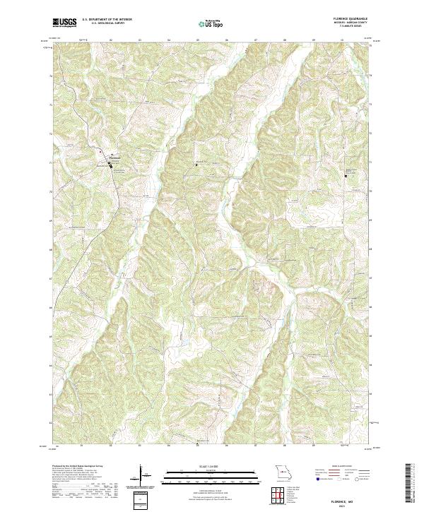
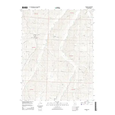
2021 Florence
Morgan County, MO
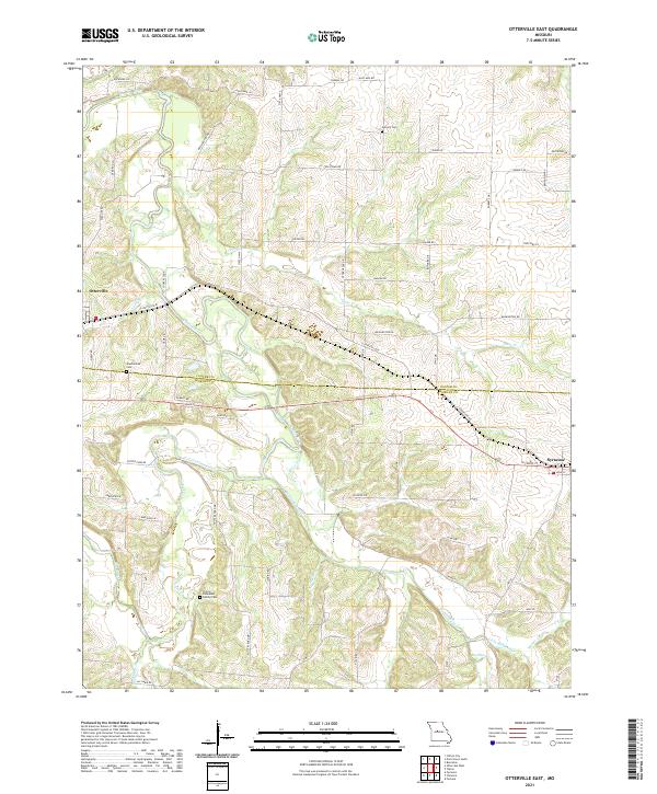
2021 Otterville East
Morgan County, MO
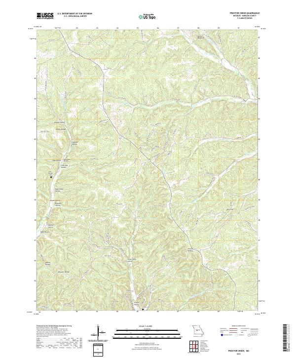
2021 Proctor Creek
Morgan County, MO
2021 Pyrmont
Morgan County, MO
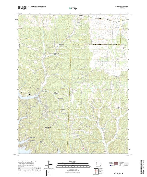
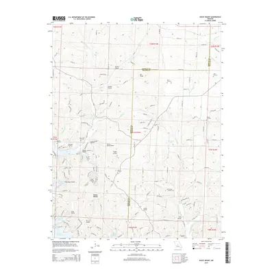
2021 Rocky Mount
Morgan County, MO