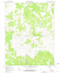
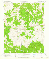
1961 Map of Crockerville
USGS Topo · Published 1981About this map
The boundary between Benton Co and Morgan Co divides this rural landscape, which is defined by the winding course of Haw Creek and its many tributaries. In the western portion of the map, the small settlement of Crockerville sits at a junction of backroads, while further north, the Brauersville Sch and a nearby cemetery mark an established rural community. The Chicago and Pacific Rock Island railroad cuts a clear diagonal through the center of the sheet, reflecting the vital role of rail transport in connecting these remote Missouri townships during the mid-20th century.
Find a feature on this map
18 named features on this map. Tap any name to fly to it.
Don’t see what you’re looking for? This feature index may not catch every label — zoom into the map to look around manually.
Map Details
Editions of this 1961 Crockerville Map
2 editions found
Other maps of this area

1887 · Sedalia
USGS Topo · 1:125,000

1887 · Warsaw
USGS Topo · 1:125,000

1888 · Versailles
USGS Topo · 1:125,000

1888 · Boonville
USGS Topo · 1:125,000

1893 · Versailles
USGS Topo · 1:125,000

1894 · Warsaw
USGS Topo · 1:125,000

1894 · Sedalia
USGS Topo · 1:125,000

1904 · Gravois Mills
USGS Topo · 1:62,500

1935 · Proctor Creek
USGS Topo · 1:24,000

1935 · Boylers Mill
USGS Topo · 1:24,000