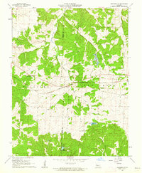
1961 Map of Crockerville
USGS Topo · Published 1962About this map
Crockerville sits at the intersection of local transport and the Chicago Rock Island and Pacific railroad in this early 1960s topographic study. The landscape is defined by the winding course of Haw Creek and Gabriel Creek, punctuated by several family and community landmarks that anchor the rural social structure of the era. Genealogists will find significant value in the documentation of numerous burial sites, including the Old Stover Cem, St Johns Cem, and Gerlt Cem. Local education and faith are represented by the Brauersville Sch, Bethlehem Ch, and Pleasant Union Ch. To the south, Lake Placid and a prominent Fish Hatchery indicate the importance of water management and local industry along the Big Buffalo Creek drainage area near the Benton and Morgan County line.
Find a feature on this map
17 named features on this map. Tap any name to fly to it.
Don’t see what you’re looking for? This feature index may not catch every label — zoom into the map to look around manually.
Map Details
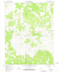
Editions of this 1961 Crockerville Map
2 editions found
Other maps of this area

1887 · Sedalia
USGS Topo · 1:125,000

1887 · Warsaw
USGS Topo · 1:125,000

1888 · Versailles
USGS Topo · 1:125,000

1888 · Boonville
USGS Topo · 1:125,000

1893 · Versailles
USGS Topo · 1:125,000

1894 · Warsaw
USGS Topo · 1:125,000

1894 · Sedalia
USGS Topo · 1:125,000

1904 · Gravois Mills
USGS Topo · 1:62,500

1935 · Proctor Creek
USGS Topo · 1:24,000

1935 · Boylers Mill
USGS Topo · 1:24,000