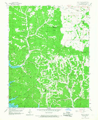
1959 Map of Rocky Mount
USGS Topo · Published 1968About this map
Lake of the Ozarks defines the southwestern landscape of this region, with the Gravois Arm and Bogue Bay cutting into the timbered hills. The terrain is deeply dissected by numerous hollows and branches, such as Shelton Hollow and Louis Woods Hollow, which feed into Indian Creek. Settlement patterns are scattered, anchored by the community of Rocky Mount and several small rural centers.
Find a feature on this map
41 named features on this map. Tap any name to fly to it.
Don’t see what you’re looking for? This feature index may not catch every label — zoom into the map to look around manually.
Map Details
Editions of this 1959 Rocky Mount Map
2 editions found
Other maps of this area

1888 · Versailles
USGS Topo · 1:125,000

1893 · Versailles
USGS Topo · 1:125,000

1904 · Eldon
USGS Topo · 1:62,500

1904 · Gravois Mills
USGS Topo · 1:62,500

1932 · Versailles No 4
USGS Topo · 1:48,000

1934 · Purvis
USGS Topo · 1:24,000

1934 · Lake Ozark
USGS Topo · 1:24,000

1934 · Bagnell
USGS Topo · 1:24,000

1935 · Gravois Mills
USGS Topo · 1:24,000

1935 · Rocky Mount
USGS Topo · 1:24,000