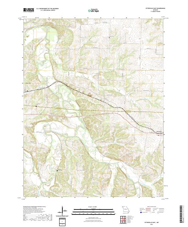
2021 Map of Otterville East
USGS Topo · Published 2021About this map
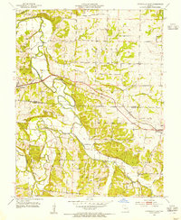
The Lamine River and Otter Cr drain a dissected landscape along the boundary of Cooper Co and Morgan Co, defining the agricultural and settlement patterns of this central Missouri region. The town of Otterville sits in the northwest, while Syracuse anchors the eastern edge along the corridor of US Hwy 50 (Old). For genealogists, the map preserves the locations of significant local burial sites, including the Finley-Dinwiddie Family Cem near Flat Creek and the Shackleford Cem further north. A dense network of local roads such as Potter Ford Rd and New Lebanon Dr follows the ridgelines between the various tributaries of Richland Creek and Gabriel Cr, showing the persistent rural infrastructure of the early twenty-first century.
Find a feature on this map
60 named features on this map. Tap any name to fly to it.
Don’t see what you’re looking for? This feature index may not catch every label — zoom into the map to look around manually.
Map Details
Editions of this 2021 Otterville East Map
This is the sole edition of this map. No revisions or reprints were ever made.
Other maps of this area

1887 · Sedalia
USGS Topo · 1:125,000

1888 · Boonville
USGS Topo · 1:125,000

1894 · Sedalia
USGS Topo · 1:125,000

1947 · Jefferson City
USGS Topo · 1:250,000

1952 · Tipton
USGS Topo · 1:24,000
1952 · Fortuna
USGS Topo · 1:24,000

1953 · Pilot Grove South
USGS Topo · 1:24,000
1953 · Florence
USGS Topo · 1:24,000
1953 · Bunceton
USGS Topo · 1:24,000
1953 · Otterville East
USGS Topo · 1:24,000