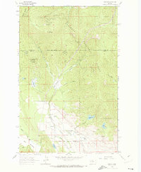
1964 Map of Proctor
USGS Topo · Published 1973About this map
Proctor and its surrounding ranchlands sit at the intersection of the Flathead National Forest and the Flathead Indian Reservation Boundary in the mid-1960s. This survey, based on 1958 aerial photography, details a landscape defined by vital water sources and remote mountain terrain. The Community Ch serves as a central landmark for the local population, while several family-named springs including Bickford Spring, Foss Spring, and Indian Spring indicate the importance of groundwater for the region's agricultural and domestic life. The terrain rises sharply toward Blacktail Mountain and Kerr Mountain to the north, with various drainages like the Middle Fork and East Fork cutting through high meadows. Smaller alpine bodies of water such as Skags Lake and Webb Lake dot the higher elevations above the Dayton Creek drainage.
Find a feature on this map
28 named features on this map. Tap any name to fly to it.
Don’t see what you’re looking for? This feature index may not catch every label — zoom into the map to look around manually.
Map Details
Editions of this 1964 Proctor Map
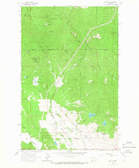
2 editions found
Other maps of this area

1920 · Flathead Lake
USGS Topo · 1:125,000

1943 · Kalispell
USGS Topo · 1:125,000

1956 · Wallace
USGS Topo · 1:250,000

1957 · Kalispell
USGS Topo · 1:250,000

1960 · Kalispell
USGS Topo · 1:250,000

1960 · Wallace
USGS Topo · 1:250,000

1961 · Kalispell
USGS Topo · 1:250,000

1962 · Kila
USGS Topo · 1:24,000

1962 · Lion Mountain
USGS Topo · 1:24,000

1962 · Somers
USGS Topo · 1:24,000