
1971 Map of Proctor Ranch
USGS Topo · Published 1973About this map
Proctor Ranch sits near the crossing of the Hartley Co and Oldham Co line in this early 1970s study of the Texas Panhandle. The landscape is defined by the ephemeral flow of Punta de Agua Creek and its tributaries, Sand Creek and Moreto Creek. This period of land use is characterized by an extensive network of water infrastructure critical for cattle ranching, marked by numerous named windmills scattered across the draws and ridges.
Find a feature on this map
19 named features on this map. Tap any name to fly to it.
Don’t see what you’re looking for? This feature index may not catch every label — zoom into the map to look around manually.
Map Details
Editions of this 1971 Proctor Ranch Map
This is the sole edition of this map. No revisions or reprints were ever made.
Other maps of this area

1954 · Tucumcari
USGS Topo · 1:250,000

1958 · Tucumcari
USGS Topo · 1:250,000

1971 · Channing NW
USGS Topo · 1:24,000

1971 · Many Post Camp
USGS Topo · 1:24,000
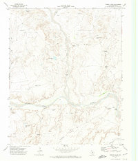
1971 · Torrey House
USGS Topo · 1:24,000
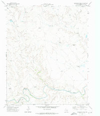
1971 · Humdinger Spring
USGS Topo · 1:24,000

1971 · Pedarosa Camp
USGS Topo · 1:24,000

1972 · Hartley SW
USGS Topo · 1:24,000

1973 · King SW
USGS Topo · 1:24,000
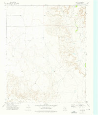
1973 · King SE
USGS Topo · 1:24,000