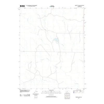
2010 Map of Proffitt Lake
USGS Topo · Published 2010About this map
Proffitt Lake serves as a central landmark in this drainage basin of southern Meade County, where the plains are etched by a complex network of seasonal and perennial waterways. The landscape is defined by the convergence of several major drainages, including the branching arms of Big Sandy Creek and the meandering path of Indian Creek. This region reflects a classic High Plains topography, where the land's utility and layout are dictated by water sources and a sparse, rectilinear road network such as U Rd. Small seasonal tributaries like Gyp Creek, Johns Creek, and Sand Creek feed into larger systems, illustrating the local hydrology before these waters continue south toward Twomile Creek.
Find a feature on this map
8 named features on this map. Tap any name to fly to it.
Don’t see what you’re looking for? This feature index may not catch every label — zoom into the map to look around manually.
Map Details
Editions of this 2010 Proffitt Lake Map
This is the sole edition of this map. No revisions or reprints were ever made.
Other maps of this area

1892 · Meade
USGS Topo · 1:125,000

1896 · Ashland
USGS Topo · 1:125,000

1955 · Pratt
USGS Topo · 1:250,000

1955 · Dodge City
USGS Topo · 1:250,000

1958 · Dodge City
USGS Topo · 1:250,000

1959 · Pratt
USGS Topo · 1:250,000

1959 · Dodge City
USGS Topo · 1:250,000

1967 · Fowler SE
USGS Topo · 1:24,000

1967 · Fowler SW
USGS Topo · 1:24,000

1972 · Ashland NW
USGS Topo · 1:24,000