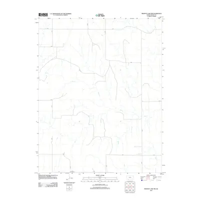
2012 Map of Proffitt Lake NW
USGS Topo · Published 2012About this map
Kleine Gemeinde Cem stands as a focal point for genealogical interest in this rural portion of Meade County, Kansas. The landscape is defined by the drainage patterns of Sand Cr and Twomile Cr, which meander through a grid of section roads. This 2012 survey illustrates the enduring agricultural layout of the region, where the vast majority of the terrain is partitioned by an extensive network of local routes such as Q Rd, X Rd, and Y Rd. The lack of dense residential development emphasizes the open, rural character of the High Plains, where landmarks are often limited to these small, family or community-focused burial grounds and the natural watercourses that dictate the movement of early settlers and current inhabitants alike.
Find a feature on this map
14 named features on this map. Tap any name to fly to it.
Don’t see what you’re looking for? This feature index may not catch every label — zoom into the map to look around manually.
Map Details
Editions of this 2012 Proffitt Lake NW Map
This is the sole edition of this map. No revisions or reprints were ever made.
Other maps of this area

1892 · Meade
USGS Topo · 1:125,000

1955 · Dodge City
USGS Topo · 1:250,000

1958 · Dodge City
USGS Topo · 1:250,000

1959 · Dodge City
USGS Topo · 1:250,000

1962 · Irish Flats NE
USGS Topo · 1:24,000

1962 · Irish Flats SE
USGS Topo · 1:24,000

1963 · Meade
USGS Topo · 1:24,000

1967 · Fowler SE
USGS Topo · 1:24,000

1967 · Fowler SW
USGS Topo · 1:24,000
1972 · Proffitt Lake
USGS Topo · 1:24,000