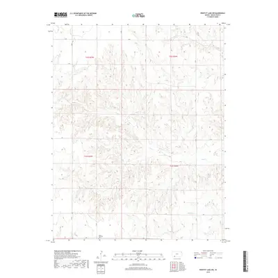
2018 Map of Proffitt Lake NW
USGS Topo · Published 2018About this map
The Kleine Gemeinde Cem stands as a significant cultural marker in this rural corner of Meade County, reflecting the area's heritage and settlement patterns. Located near the intersection of Y Rd and an unnamed section line, the cemetery is surrounded by a highly structured grid of section-line roads, including Q Rd, U Rd, and V Rd, which define the agricultural landscape. The terrain is etched by the intermittent drainage of Sand Cr and Twomile Cr, showing a landscape where water management and road networks are the primary human imprints. This 2018 survey documents the persistent grid of the Public Land Survey System, specifically within township ranges such as t32s r27w and t33s r26w, illustrating how nineteenth-century surveying continues to organize contemporary Kansas ranch and farm land.
Find a feature on this map
14 named features on this map. Tap any name to fly to it.
Don’t see what you’re looking for? This feature index may not catch every label — zoom into the map to look around manually.
Map Details
Editions of this 2018 Proffitt Lake NW Map
This is the sole edition of this map. No revisions or reprints were ever made.
Other maps of this area

1892 · Meade
USGS Topo · 1:125,000

1955 · Dodge City
USGS Topo · 1:250,000

1958 · Dodge City
USGS Topo · 1:250,000

1959 · Dodge City
USGS Topo · 1:250,000

1962 · Irish Flats NE
USGS Topo · 1:24,000

1962 · Irish Flats SE
USGS Topo · 1:24,000

1963 · Meade
USGS Topo · 1:24,000

1967 · Fowler SE
USGS Topo · 1:24,000

1967 · Fowler SW
USGS Topo · 1:24,000
1972 · Proffitt Lake
USGS Topo · 1:24,000