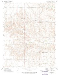
1972 Map of Proffitt Lake NW
USGS Topo · Published 1974About this map
Little Congregational Cem stands near the southern boundary of this Meade County landscape, serving as a primary cultural anchor in an area defined by rural industry and natural drainage. The terrain is deeply carved by the winding paths of Sand Creek and Twomile Creek, which dictate the local topography during this early 1970s period. While largely open land, the presence of numerous Gas Wells and scattered Drill Holes reflects the intensive energy exploration occurring throughout Logan and Sand Creek townships. A major Pipeline traverses the northeast, cutting across the contour lines of the plains. This survey documents a specific moment in the evolution of the Kansas High Plains, where agricultural grazing land and subterranean resource extraction exist alongside isolated springs and long-established local landmarks.
Find a feature on this map
11 named features on this map. Tap any name to fly to it.
Don’t see what you’re looking for? This feature index may not catch every label — zoom into the map to look around manually.
Map Details
Editions of this 1972 Proffitt Lake NW Map
This is the sole edition of this map. No revisions or reprints were ever made.
Other maps of this area

1892 · Meade
USGS Topo · 1:125,000

1955 · Dodge City
USGS Topo · 1:250,000

1958 · Dodge City
USGS Topo · 1:250,000

1959 · Dodge City
USGS Topo · 1:250,000

1962 · Irish Flats NE
USGS Topo · 1:24,000

1962 · Irish Flats SE
USGS Topo · 1:24,000

1963 · Meade
USGS Topo · 1:24,000

1967 · Fowler SE
USGS Topo · 1:24,000

1967 · Fowler SW
USGS Topo · 1:24,000
1972 · Proffitt Lake
USGS Topo · 1:24,000