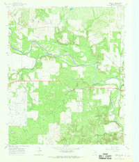
1966 Map of Proffitt
USGS Topo · Published 1968About this map
Brazos River meanders through the heart of this Young County landscape, creating a broad alluvial plain known as Johnson Bottom. This mid-century survey documents the rural character of North Texas, where agricultural land and oil extraction coexist. The map captures the small community of Proffitt and the western edge of Newcastle, showing a network of ranch roads and section lines typical of the region.
Find a feature on this map
24 named features on this map. Tap any name to fly to it.
Don’t see what you’re looking for? This feature index may not catch every label — zoom into the map to look around manually.
Map Details
Editions of this 1966 Proffitt Map
2 editions found
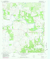
Other maps of this area

1925 · Graham 4-c
USGS Topo · 1:48,000

1927 · Graham
USGS Topo · 1:62,500

1954 · Wichita Falls
USGS Topo · 1:250,000

1958 · Wichita Falls
USGS Topo · 1:250,000

1964 · Newcastle
USGS Topo · 1:24,000

1964 · Padgett
USGS Topo · 1:24,000

1964 · True
USGS Topo · 1:24,000

1964 · Olney
USGS Topo · 1:24,000
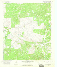
1966 · Tackett Mountain
USGS Topo · 1:24,000
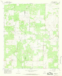
1966 · Murray
USGS Topo · 1:24,000