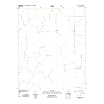
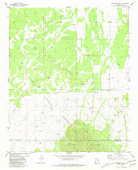
2011 Map of Progresso SE
USGS Topo · Published 2011About this map
Devaney Ranch and Hobbs Ranch anchor the northern landscape of this Lincoln County survey, illustrating the distributed nature of modern cattle ranching in the New Mexico high desert. The settlement pattern is defined by these isolated homesteads, linked by a network of rural routes such as County Rd-C005 and County Rd-8079. Water management is the primary logistical concern across this terrain, as evidenced by the strategic placement of infrastructure like the Pruett Windmill, Forest Windmill, and Sawmill Tank. These features represent the essential lifeline for agriculture in an arid environment where natural surface water is scarce.
Find a feature on this map
17 named features on this map. Tap any name to fly to it.
Don’t see what you’re looking for? This feature index may not catch every label — zoom into the map to look around manually.
Map Details
Editions of this 2011 Progresso SE Map
This is the sole edition of this map. No revisions or reprints were ever made.
Other maps of this area

1954 · Fort Sumner
USGS Topo · 1:250,000

1958 · Fort Sumner
USGS Topo · 1:250,000

1980 · Corona
USGS Topo · 1:100,000

1981 · Rough Mountain
USGS Topo · 1:24,000

1981 · Progresso NE
USGS Topo · 1:24,000

1981 · Pino Mountain
USGS Topo · 1:24,000
1981 · Progresso SW
USGS Topo · 1:24,000
1981 · Pajaro Canyon
USGS Topo · 1:24,000
1981 · Progresso
USGS Topo · 1:24,000
1981 · Progresso SE
USGS Topo · 1:24,000