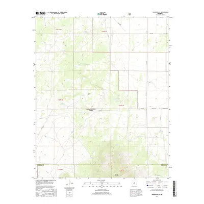
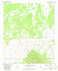
2017 Map of Progresso SE
USGS Topo · Published 2017About this map
Gallinas Mountains dominate the southern portion of this high-desert landscape, where the border of Torrance and Lincoln counties bisects the terrain. This region is characterized by its vital water management infrastructure, evidenced by numerous named tanks such as DuBois Tank, Sawmill Tank, and the descriptively named Bog Hole. These features are essential for supporting ranching and wildlife in the arid environment of the Cibola National Forest. The map illustrates a network of rural routes including Granquivera Rd and Forest Rd 167, which provide access through the forest and around landmarks like Round Top. The placement of these water sources and roads reflects a long history of land use centered on the accessibility of the mountainous interior.
Find a feature on this map
30 named features on this map. Tap any name to fly to it.
Don’t see what you’re looking for? This feature index may not catch every label — zoom into the map to look around manually.
Map Details
Editions of this 2017 Progresso SE Map
This is the sole edition of this map. No revisions or reprints were ever made.
Other maps of this area

1954 · Fort Sumner
USGS Topo · 1:250,000

1958 · Fort Sumner
USGS Topo · 1:250,000

1980 · Corona
USGS Topo · 1:100,000

1981 · Rough Mountain
USGS Topo · 1:24,000

1981 · Progresso NE
USGS Topo · 1:24,000

1981 · Pino Mountain
USGS Topo · 1:24,000
1981 · Progresso SW
USGS Topo · 1:24,000
1981 · Pajaro Canyon
USGS Topo · 1:24,000
1981 · Progresso
USGS Topo · 1:24,000
1981 · Progresso SE
USGS Topo · 1:24,000