
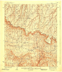
1939 Map of Promontory Butte
USGS Topo · Published 1939About this map
Zane Grey Lodge and the adjacent Babe Haught Ranch sit at the base of the Rim, anchoring a landscape defined by pioneer homesteads and forest service outposts during the late 1930s. The map illustrates a transition between the high plateaus of the Sitgreaves National Forest and the deep canyons of the Tonto National Forest below. This boundary is marked by a concentration of early 20th-century cabins, including the McClintock Ranch, Holder Cabin, and Dane Cabin, which supported ranching and forest management before modern development.
Find a feature on this map
101 named features on this map. Tap any name to fly to it.
Don’t see what you’re looking for? This feature index may not catch every label — zoom into the map to look around manually.
Map Details
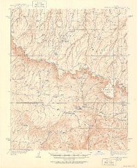
Editions of this 1939 Promontory Butte Map
3 editions found
Other maps of this area

1886 · Holbrook
USGS Topo · 1:250,000

1887 · Verde
USGS Topo · 1:250,000

1892 · Verde
USGS Topo · 1:250,000

1893 · Holbrook
USGS Topo · 1:250,000

1934 · Pine
USGS Topo · 1:62,500

1934 · Promontory Butte
USGS Topo · 1:62,500

1936 · Payson
USGS Topo · 1:48,000

1937 · Diamond Butte
USGS Topo · 1:48,000

1940 · Pine
USGS Topo · 1:62,500

1942 · Payson
USGS Topo · 1:62,500
Featured Places
- Star Valley, AZ
- Bonita Creek Estates, AZ
- Thompson Draw Summer Homes Unit #1, AZ
- Tonto Estate, AZ
- Hunter Creek, AZ