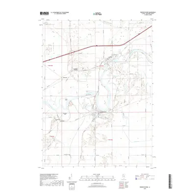
2018 Map of Prophetstown
USGS Topo · Published 2018About this map
The Rock River defines the landscape of Whiteside County, carving a path between the settlements of Prophetstown and Lyndon. This 2018 survey shows a geography shaped by the river's hydrology, including distinctive landforms like Indian Island and Millwoods Island, and low-lying water bodies such as Hamilton Slough and Walker Slough. The infrastructure reflects a balance of agriculture and transportation, with the BNSF Railway corridor crossing the terrain near the small communities of Denrock and Hamilton Corners.
Find a feature on this map
69 named features on this map. Tap any name to fly to it.
Don’t see what you’re looking for? This feature index may not catch every label — zoom into the map to look around manually.
Map Details
Editions of this 2018 Prophetstown Map
This is the sole edition of this map. No revisions or reprints were ever made.
Other maps of this area

1891 · Clinton
USGS Topo · 1:62,500

1894 · Clinton
USGS Topo · 1:62,500

1899 · Clinton
USGS Topo · 1:125,000

1932 · Prophetstown
USGS Topo · 1:48,000

1934 · Morrison
USGS Topo · 1:48,000

1936 · Prophetstown
USGS Topo · 1:62,500

1940 · Morrison
USGS Topo · 1:62,500

1952 · Erie
USGS Topo · 1:62,500

1952 · Clinton
USGS Topo · 1:62,500

1958 · Davenport
USGS Topo · 1:250,000