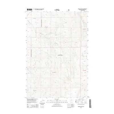
2014 Map of Proposal Rock
USGS Topo · Published 2014About this map
Beaverhead National Forest encompasses the entirety of this high-elevation landscape in Beaverhead County, defined by a complex drainage network that feeds the Big Hole River basin. The namesake Proposal Rock stands as a prominent landmark in the southwest, overlooking the headwaters of McVey Cr. The terrain is deeply etched by the various branches of Doolittle Creek, including the N Fork Doolittle Fork Cr, Middle Fork Doolittle Cr, and S Fork Doolittle Cr, which illustrate the hydrological complexity of the Pioneer Mountains.
Find a feature on this map
20 named features on this map. Tap any name to fly to it.
Don’t see what you’re looking for? This feature index may not catch every label — zoom into the map to look around manually.
Map Details
Editions of this 2014 Proposal Rock Map
This is the sole edition of this map. No revisions or reprints were ever made.
Other maps of this area

1955 · Dillon
USGS Topo · 1:250,000

1957 · Dillon
USGS Topo · 1:250,000

1958 · Dillon
USGS Topo · 1:250,000

1962 · Dillon
USGS Topo · 1:250,000

1962 · Wisdom
USGS Topo · 1:24,000

1962 · Mud Lake
USGS Topo · 1:24,000

1962 · Pine Hill
USGS Topo · 1:24,000

1962 · Stewart Mountain
USGS Topo · 1:24,000
1962 · Foolhen Mountain
USGS Topo · 1:24,000

1962 · Pintlar Lake
USGS Topo · 1:24,000