Loading...
Loading map...2021 Map of Prosser
USGS Topo · Published 2021About this map
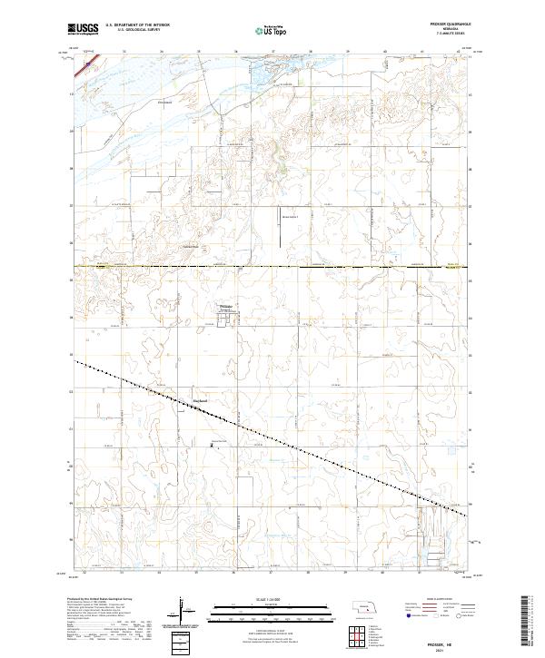
The Middle Channel Platte River and South Channel Platte River define the northern landscape of this Adams County quadrangle, carving around Elm Island as they flow eastward. This 2021 study illustrates a region where water management and agriculture shape the rural grid, with the small village of Prosser and the community of Hayland serving as local hubs. The terrain is relatively flat, rising only slightly to heights like Topeka Peak in the central-western section.
Find a feature on this map
49 named features on this map. Tap any name to fly to it.
Don’t see what you’re looking for? This feature index may not catch every label — zoom into the map to look around manually.
Map Details
Date Portrayed2021
Date Published2021
PublisherU.S. Geological Survey
Map TypeTopographic
Scale1:24,000
Physical Dimensions24 x 29 inches
Editions of this 2021 Prosser Map
This is the sole edition of this map. No revisions or reprints were ever made.
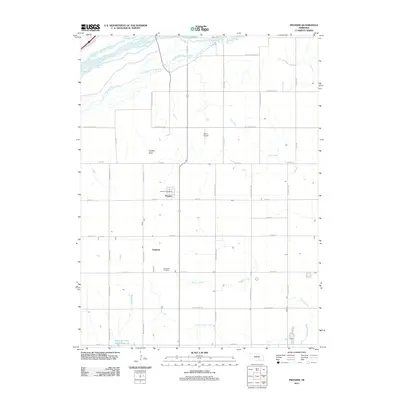
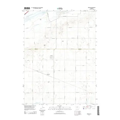
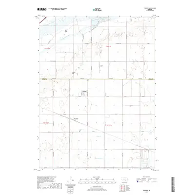
Historical Maps of Prosser Through Time
5 maps found

Featured Locations
Source Details
SourceU.S. Geological Survey
CopyrightPublic Domain