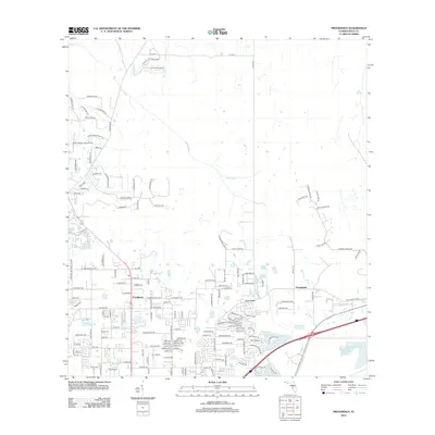
2012 Map of Providence
USGS Topo · Published 2012About this map
Providence and the surrounding Polk County landscape are defined by a high concentration of small lakes and a network of rural residential developments established by 2012. The area's hydrology is dominated by Gator Creek, which winds through the northern wetlands, and a cluster of named water bodies to the south including Saint Andrews Lake, Sherwood Forest Lake, and the curiously named Sick Lake.
Find a feature on this map
149 named features on this map. Tap any name to fly to it.
Don’t see what you’re looking for? This feature index may not catch every label — zoom into the map to look around manually.
Map Details
Editions of this 2012 Providence Map
This is the sole edition of this map. No revisions or reprints were ever made.
Other maps of this area

1944 · Plant City
USGS Topo · 1:31,680

1944 · Providence
USGS Topo · 1:31,680

1944 · Polk City
USGS Topo · 1:31,680

1944 · Lakeland
USGS Topo · 1:31,680

1944 · Auburndale
USGS Topo · 1:31,680

1944 · Socrum
USGS Topo · 1:31,680

1955 · Plant City
USGS Topo · 1:250,000

1955 · Orlando
USGS Topo · 1:250,000

1957 · Orlando
USGS Topo · 1:250,000

1958 · Orlando
USGS Topo · 1:250,000