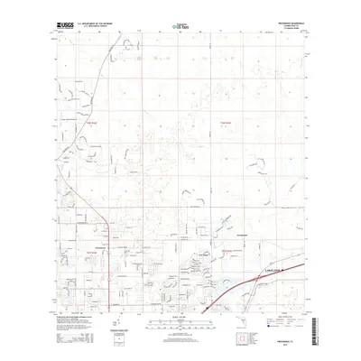
2015 Map of Providence
USGS Topo · Published 2015About this map
Providence and the northern outskirts of Lakeland anchor this 2015 survey of Polk County, where residential development meets the hydrologic complexities of the Florida interior. The landscape is defined by the winding course of Gator Cr and numerous small water bodies like Duff Lake and Sick Lake. The map reveals a transition from traditional rural settlements such as Fox Town and Orangedale to modern subdivisions characterized by looped residential roads and named tracts. Named thoroughfares like Rockridge Rd and Gator Creek Ranch Rd provide access to the interior, while the Green Swamp Aerodrome serves as a distinct aviation landmark. This record captures the intricate grid of the Public Land Survey System, including t27s r23e and t27s r24e, illustrating how historical land divisions continue to shape contemporary land use and property boundaries in this part of Florida.
Find a feature on this map
148 named features on this map. Tap any name to fly to it.
Don’t see what you’re looking for? This feature index may not catch every label — zoom into the map to look around manually.
Map Details
Editions of this 2015 Providence Map
This is the sole edition of this map. No revisions or reprints were ever made.
Other maps of this area

1944 · Plant City
USGS Topo · 1:31,680

1944 · Providence
USGS Topo · 1:31,680

1944 · Polk City
USGS Topo · 1:31,680

1944 · Lakeland
USGS Topo · 1:31,680

1944 · Auburndale
USGS Topo · 1:31,680

1944 · Socrum
USGS Topo · 1:31,680

1955 · Plant City
USGS Topo · 1:250,000

1955 · Orlando
USGS Topo · 1:250,000

1957 · Orlando
USGS Topo · 1:250,000

1958 · Orlando
USGS Topo · 1:250,000