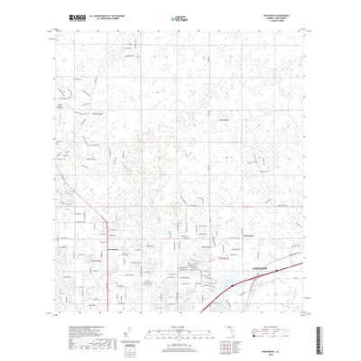
2018 Map of Providence
USGS Topo · Published 2018About this map
Providence and Fox Town sit at the intersection of a rapidly developing residential landscape and the low-lying wetlands of central Florida during the late 2010s. The northern portion of the map is dominated by the sprawling headwaters of Gator Cr, where a intricate network of swampy terrain is navigated by long-established routes like Rock Ridge Rd and Countryside Dr. The presence of the Green Swamp Aerodrome in the northwest highlights the rural, open character of the region just beyond the urban fringe. To the south, the expansion of Lakeland is evident as suburban street patterns begin to press against older agricultural landmarks like Banana Rd. This transition zone is further defined by numerous small water bodies, including Saint Andrews Lake and the aptly named Hidden Lake, which illustrate the natural drainage patterns that have historically shaped local land use and development.
Find a feature on this map
136 named features on this map. Tap any name to fly to it.
Don’t see what you’re looking for? This feature index may not catch every label — zoom into the map to look around manually.
Map Details
Editions of this 2018 Providence Map
This is the sole edition of this map. No revisions or reprints were ever made.
Other maps of this area

1944 · Plant City
USGS Topo · 1:31,680

1944 · Providence
USGS Topo · 1:31,680

1944 · Polk City
USGS Topo · 1:31,680

1944 · Lakeland
USGS Topo · 1:31,680

1944 · Auburndale
USGS Topo · 1:31,680

1944 · Socrum
USGS Topo · 1:31,680

1955 · Plant City
USGS Topo · 1:250,000

1955 · Orlando
USGS Topo · 1:250,000

1957 · Orlando
USGS Topo · 1:250,000

1958 · Orlando
USGS Topo · 1:250,000