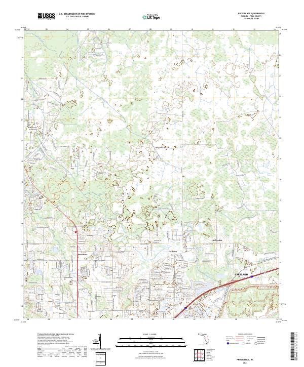
2024 Map of Providence
USGS Topo · Published 2024About this map
Providence and the rural communities of Fox Town and Orangedale are situated within a landscape defined by extensive wetlands and complex hydrography in northern Polk County. The northern portion of the map is dominated by the sprawling drainage of Gator Creek, while the southern reaches transition into the developed fringes of northern Lakeland. This area reflects a mixture of agricultural roots and modern residential expansion, with numerous small water bodies such as Saint Andrews Lake, Lake Cameron, and Country Oaks Lake dotting the terrain. The presence of the Green Swamp Aerodrome in the northwest corner highlights the transition between the ecologically sensitive Green Swamp region and the growing suburban corridors. Local genealogists and historians can trace the network of rural roads, including Rockridge Rd and Cord 35, which connect these smaller settlements to the larger regional hub.
Find a feature on this map
155 named features on this map. Tap any name to fly to it.
Don’t see what you’re looking for? This feature index may not catch every label — zoom into the map to look around manually.
Map Details
Editions of this 2024 Providence Map
This is the sole edition of this map. No revisions or reprints were ever made.
Other maps of this area

1944 · Plant City
USGS Topo · 1:31,680

1944 · Providence
USGS Topo · 1:31,680

1944 · Polk City
USGS Topo · 1:31,680

1944 · Lakeland
USGS Topo · 1:31,680

1944 · Auburndale
USGS Topo · 1:31,680

1944 · Socrum
USGS Topo · 1:31,680

1955 · Plant City
USGS Topo · 1:250,000

1955 · Orlando
USGS Topo · 1:250,000

1957 · Orlando
USGS Topo · 1:250,000

1958 · Orlando
USGS Topo · 1:250,000