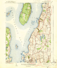
1942 Map of Prudence Island
USGS Topo · Published 1942About this map
Prudence Island sits at the center of this 1939 survey, surrounded by the waters of the Narragansett Bay and the East Passage. The map captures the island's rural character, marked by Prudence Sch and several prominent marshes such as Schoolhouse Swamp and Brickhouse Swamp. To the east, the more densely populated landscape of Aquidneck Island is visible, featuring a network of established roads like West Main Road and East Main Road.
Find a feature on this map
108 named features on this map. Tap any name to fly to it.
Don’t see what you’re looking for? This feature index may not catch every label — zoom into the map to look around manually.
Map Details
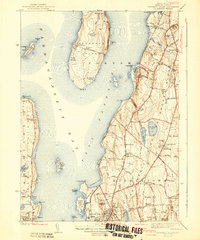
Editions of this 1942 Prudence Island Map
2 editions found
Other maps of this area

1885 · Sakonnet
USGS Topo · 1:62,500

1888 · Fall River
USGS Topo · 1:62,500

1888 · Sakonnet
USGS Topo · 1:62,500

1889 · Newport
USGS Topo · 1:62,500

1890 · Narragansett Bay
USGS Topo · 1:62,500

1892 · Narragansett Bay
USGS Topo · 1:62,500

1893 · Sakonnet
USGS Topo · 1:62,500

1893 · Fall River
USGS Topo · 1:62,500

1894 · Newport
USGS Topo · 1:62,500

1904 · Newport
USGS Topo · 1:62,500