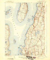
1942 Map of Prudence Island
USGS Topo · Published 1942About this map
Prudence Island and the neighboring shoreline of Rhode Island appear in significant detail during the early 1940s, a period marked by extensive coastal military activity. The U.S. Naval Reservation at Melville and the U.S. Naval Res on Gould Island reflect the strategic importance of Narragansett Bay during the war. On the mainland, the landscape of Portsmouth and Middletown is defined by a network of established country lanes like Wapping Road and West Main Road, connecting local centers such as South Portsmouth and Whitehall.
Find a feature on this map
120 named features on this map. Tap any name to fly to it.
Don’t see what you’re looking for? This feature index may not catch every label — zoom into the map to look around manually.
Map Details
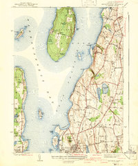
Editions of this 1942 Prudence Island Map
2 editions found
Other maps of this area

1885 · Sakonnet
USGS Topo · 1:62,500

1888 · Fall River
USGS Topo · 1:62,500

1888 · Sakonnet
USGS Topo · 1:62,500

1889 · Newport
USGS Topo · 1:62,500

1890 · Narragansett Bay
USGS Topo · 1:62,500

1892 · Narragansett Bay
USGS Topo · 1:62,500

1893 · Sakonnet
USGS Topo · 1:62,500

1893 · Fall River
USGS Topo · 1:62,500

1894 · Newport
USGS Topo · 1:62,500

1904 · Newport
USGS Topo · 1:62,500