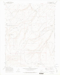
1973 Map of Pryor Creek
USGS Topo · Published 1975About this map
The Uncompahgre National Forest dominates this Colorado landscape, straddling the county line between Ouray and Montrose. The area is defined by a complex network of seasonal watercourses and high-altitude administrative sites, notably the Silesca Guard Sta and Donley Camp near Silesca Pond. Historical transport routes are a primary focus, featuring the Old Paradox Road and the prominent Divide Road along the southwestern ridges. The mapping reflects a period of intensive land management by the U. S. Forest Service, documenting the intricate drainage systems of Pryor Creek and the multiple branches of Spring Creek. For local historians and land use researchers, the transition from heavy-duty vehicle routes like the Transfer Road 5 Mi. to more primitive Pack Trails and Jeep Roads provides clear insight into the accessibility and usage of this mountain territory in the early 1970s.
Find a feature on this map
30 named features on this map. Tap any name to fly to it.
Don’t see what you’re looking for? This feature index may not catch every label — zoom into the map to look around manually.
Map Details
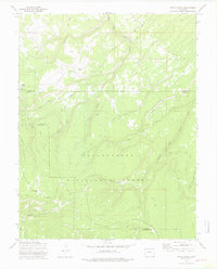
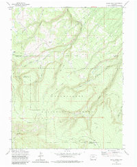
Editions of this 1973 Pryor Creek Map
3 editions found
Other maps of this area

1909 · Montrose
USGS Topo · 1:125,000

1911 · Montrose
USGS Topo · 1:125,000

1956 · Montrose
USGS Topo · 1:250,000

1956 · Moab
USGS Topo · 1:250,000

1959 · Moab
USGS Topo · 1:250,000

1959 · Montrose
USGS Topo · 1:250,000

1960 · Montrose
USGS Topo · 1:250,000

1960 · Moab
USGS Topo · 1:250,000

1962 · Moab
USGS Topo · 1:250,000
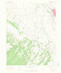
1962 · Montrose West
USGS Topo · 1:24,000