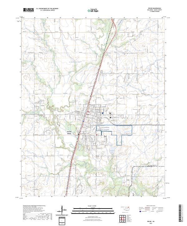
2023 Map of Pryor
USGS Topo · Published 2023About this map
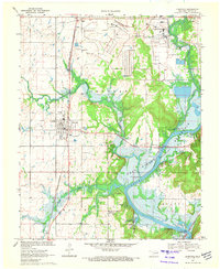
The city of Pryor serves as the focal point of this Mayes County survey, illustrating the modern layout of the community and the adjacent Pryor Creek settlement area. The landscape is defined by the winding path of Pryor Creek and several smaller tributaries such as Mud Creek and Salt Branch. Civic life is anchored by the Mayes County Courthouse, while the eastern portion of the city contains the large campus of the NG Thunderbird Youth Academy. For those researching local heritage, the map identifies several significant burial grounds, including Fairview Cem, Graham-Memorial Cem, and the County Home Cem. The presence of Longs Airport North and numerous water features like Scarbow Lake and Whitaker Home Pond highlight the varied land use between urban development and the surrounding rural terrain.
Find a feature on this map
61 named features on this map. Tap any name to fly to it.
Don’t see what you’re looking for? This feature index may not catch every label — zoom into the map to look around manually.
Map Details
Editions of this 2023 Pryor Map
This is the sole edition of this map. No revisions or reprints were ever made.
Other maps of this area

1896 · Pryor
USGS Topo · 1:125,000

1901 · Pryor
USGS Topo · 1:125,000

1954 · Tulsa
USGS Topo · 1:250,000

1958 · Tulsa
USGS Topo · 1:250,000

1963 · Tulsa
USGS Topo · 1:250,000

1969 · Adair
USGS Topo · 1:24,000
1970 · Bushyhead
USGS Topo · 1:24,000
1970 · Osage Hills
USGS Topo · 1:24,000
1970 · Chouteau NW
USGS Topo · 1:24,000
1970 · Chouteau
USGS Topo · 1:24,000